
2015 Map of Ida Grove NW
USGS Topo · Published 2015About this map
The Maple River valley dictates the geography of this rural Iowa landscape, winding southward through a network of section lines and gravel roads. This 2015 survey details the agricultural layout of the region, where the Ida Co Sac Co border runs along the eastern edge of the quadrangle. The terrain is defined by a dendritic drainage pattern where Silver Cr and Buffalo Cr feed into the primary river system, providing a clear view of the natural hydrology that has shaped farming in the area for generations.
Find a feature on this map
31 named features on this map. Tap any name to fly to it.
Don’t see what you’re looking for? This feature index may not catch every label — zoom into the map to look around manually.
Map Details
Editions of this 2015 Ida Grove NW Map
This is the sole edition of this map. No revisions or reprints were ever made.
Other maps of this area
1954 · Fort Dodge
USGS Topo · 1:250,000
1957 · Fort Dodge
USGS Topo · 1:250,000
1958 · Fort Dodge
USGS Topo · 1:250,000
1967 · Holstein
USGS Topo · 1:24,000
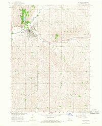
1967 · Ida Grove
USGS Topo · 1:24,000
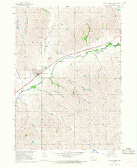
1967 · Battle Creek
USGS Topo · 1:24,000
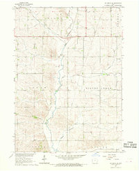
1967 · Ida Grove NW
USGS Topo · 1:24,000
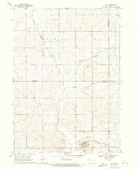
1969 · Galva
USGS Topo · 1:24,000
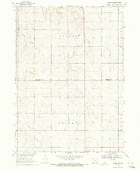
1969 · Quimby SE
USGS Topo · 1:24,000
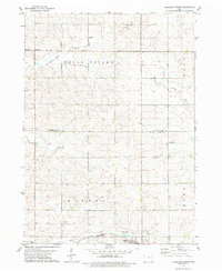
1979 · Schaller North
USGS Topo · 1:24,000