
2018 Map of Ida Grove NW
USGS Topo · Published 2018About this map
Galva sits near the northern boundary of this western Iowa landscape, serving as a primary point of settlement within the sectioned farmland of Ida and Sac counties. The terrain is defined by the winding course of the Maple River, which meanders southward through the center of the sheet, joined by several smaller tributaries including Silver Cr and Buffalo Cr. This 2018 survey reveals a highly organized rural grid, where roads like Indian Ave and Keystone Ave divide the country into uniform agricultural blocks. The map captures the modern infrastructure of the region, emphasizing the connection between small town centers and the surrounding watercourses like Elk Cr that drain the fertile prairie lands. This geometric arrangement of secondary highways and local roads illustrates the enduring township-and-range system that has shaped Iowa's rural identity for over a century.
Find a feature on this map
32 named features on this map. Tap any name to fly to it.
Don’t see what you’re looking for? This feature index may not catch every label — zoom into the map to look around manually.
Map Details
Editions of this 2018 Ida Grove NW Map
This is the sole edition of this map. No revisions or reprints were ever made.
Other maps of this area
1954 · Fort Dodge
USGS Topo · 1:250,000
1957 · Fort Dodge
USGS Topo · 1:250,000
1958 · Fort Dodge
USGS Topo · 1:250,000
1967 · Holstein
USGS Topo · 1:24,000
1967 · Ida Grove
USGS Topo · 1:24,000
1967 · Battle Creek
USGS Topo · 1:24,000
1967 · Ida Grove NW
USGS Topo · 1:24,000
1969 · Galva
USGS Topo · 1:24,000
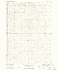
1969 · Quimby SE
USGS Topo · 1:24,000
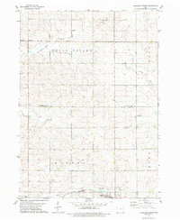
1979 · Schaller North
USGS Topo · 1:24,000