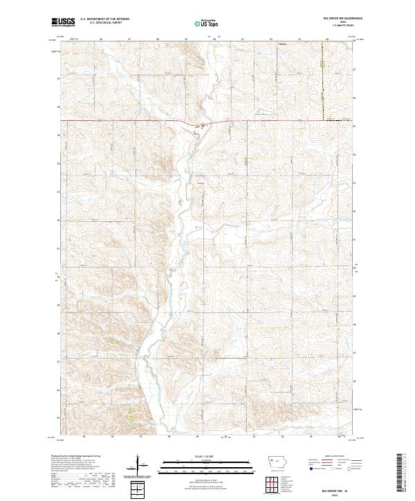
2022 Map of Ida Grove NW
USGS Topo · Published 2022About this map
Galva sits along the northern edge of this agricultural landscape where the headwaters of the Maple River and several key tributaries define the drainage of the region. The map illustrates a highly organized township system, with a dense grid of gravel and paved roads such as Jasper Ave, Landmark Ave, and Orchard Ave that delineate the family farmsteads of Northwest Iowa. Waterways like Silver Cr and Buffalo Cr cut through the sections, highlighting the natural relief in an otherwise strictly surveyed territory. The boundary between Ida Co and Sac Co is clearly marked on the eastern side, showing how the local road network, including Adams Ave, serves as a jurisdictional divide while connecting these rural communities.
Find a feature on this map
32 named features on this map. Tap any name to fly to it.
Don’t see what you’re looking for? This feature index may not catch every label — zoom into the map to look around manually.
Map Details
Editions of this 2022 Ida Grove NW Map
This is the sole edition of this map. No revisions or reprints were ever made.
Other maps of this area

1954 · Fort Dodge
USGS Topo · 1:250,000

1957 · Fort Dodge
USGS Topo · 1:250,000

1958 · Fort Dodge
USGS Topo · 1:250,000

1967 · Holstein
USGS Topo · 1:24,000

1967 · Ida Grove
USGS Topo · 1:24,000

1967 · Battle Creek
USGS Topo · 1:24,000

1967 · Ida Grove NW
USGS Topo · 1:24,000

1969 · Galva
USGS Topo · 1:24,000

1969 · Quimby SE
USGS Topo · 1:24,000

1979 · Schaller North
USGS Topo · 1:24,000