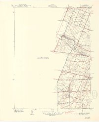
1940 Map of Ida
USGS Topo · Published 1940About this map
Monroe County farmland and small rural hubs are captured here just before the mid-century, as surveyed by R. E. Altenhofen. The settlement of Ida serves as a central point, situated along the New York Central railroad line that cuts diagonally through the townships. The map reveals an intricate network of local education and faith, with numerous small schoolhouses like Bridge Sch, King Sch, and Maple Grove Sch dotting the landscape to serve the surrounding farmsteads.
Find a feature on this map
49 named features on this map. Tap any name to fly to it.
Don’t see what you’re looking for? This feature index may not catch every label — zoom into the map to look around manually.
Map Details
Editions of this 1940 Ida Map
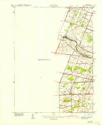
2 editions found
Other maps of this area

1902 · Ypsilanti
USGS Topo · 1:62,500

1904 · Ann Arbor
USGS Topo · 1:125,000

1906 · Ypsilanti
USGS Topo · 1:62,500

1906 · Romulus
USGS Topo · 1:62,500

1908 · Ann Arbor
USGS Topo · 1:125,000

1912 · Monroe
USGS Topo · 1:62,500

1912 · Dundee
USGS Topo · 1:62,500

1914 · Monroe
USGS Topo · 1:62,500

1926 · Dundee
USGS Topo · 1:62,500

1927 · Monroe
USGS Topo · 1:31,680