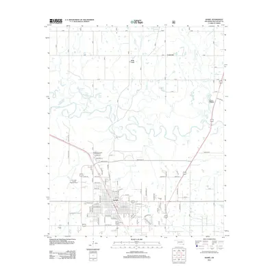
2013 Map of Idabel
USGS Topo · Published 2013About this map
Idabel serves as the focal point of this McCurtain County landscape, where the urban grid of the county seat meets the complex hydrology of the Little River basin. The area is defined by a dense network of meandering waterways, including Holly Creek, Salt Creek, and Lukfata Creek, which snake across the territory north of the city. These streams create a patchwork of small bodies of water such as Thomas Lake, Twin Lake, and Pine Lake, illustrating the low-lying, riparian nature of the local environment.
Find a feature on this map
83 named features on this map. Tap any name to fly to it.
Don’t see what you’re looking for? This feature index may not catch every label — zoom into the map to look around manually.
Map Details
Editions of this 2013 Idabel Map
This is the sole edition of this map. No revisions or reprints were ever made.
Other maps of this area
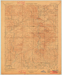
1902 · Lukfata
USGS Topo · 1:125,000
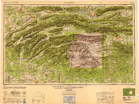
1950 · Mcalester
USGS Topo · 1:250,000
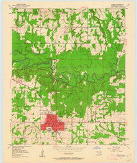
1950 · Idabel
USGS Topo · 1:24,000
1950 · Acworth
USGS Topo · 1:24,000
1950 · Shults
USGS Topo · 1:24,000
1950 · Haworth
USGS Topo · 1:24,000
1951 · Idabel
USGS Topo · 1:24,000
1951 · Garvin
USGS Topo · 1:24,000
1951 · Idabel SE
USGS Topo · 1:24,000
1951 · Haworth
USGS Topo · 1:24,000