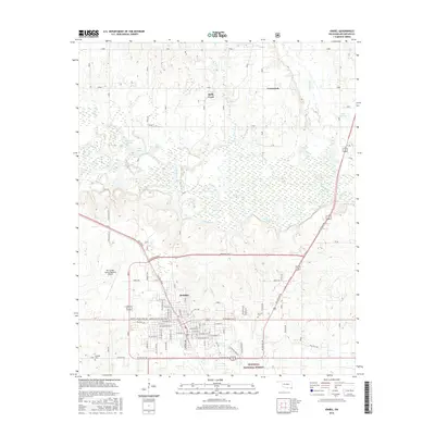
2016 Map of Idabel
USGS Topo · Published 2016About this map
Idabel serves as the focal point of this McCurtain County landscape, where the urban grid meets the dense bottomlands of southeastern Oklahoma. The settlement pattern is defined by a dense network of residential streets such as Martin Luther King Ave and Sw Main St, transitioning quickly into the wetlands and riparian forests of the Little River valley. To the south, the Ouachita National Forest marks the beginning of vast timberlands, while the Mc Curtain County Regional Airport anchors the western outskirts.
Find a feature on this map
72 named features on this map. Tap any name to fly to it.
Don’t see what you’re looking for? This feature index may not catch every label — zoom into the map to look around manually.
Map Details
Editions of this 2016 Idabel Map
This is the sole edition of this map. No revisions or reprints were ever made.
Other maps of this area
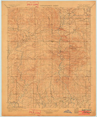
1902 · Lukfata
USGS Topo · 1:125,000
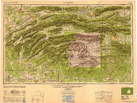
1950 · Mcalester
USGS Topo · 1:250,000
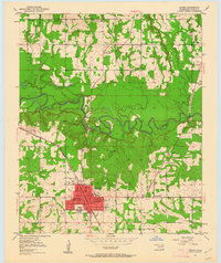
1950 · Idabel
USGS Topo · 1:24,000
1950 · Acworth
USGS Topo · 1:24,000
1950 · Shults
USGS Topo · 1:24,000
1950 · Haworth
USGS Topo · 1:24,000
1951 · Idabel
USGS Topo · 1:24,000
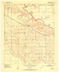
1951 · Garvin
USGS Topo · 1:24,000
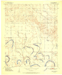
1951 · Idabel SE
USGS Topo · 1:24,000
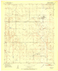
1951 · Haworth
USGS Topo · 1:24,000