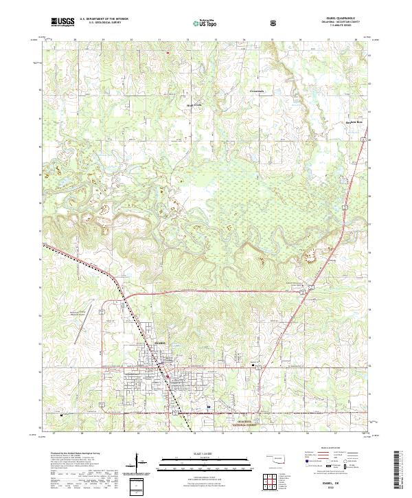
2022 Map of Idabel
USGS Topo · Published 2022About this map
Idabel serves as the focal point of this McCurtain County landscape, where the street grid of the city meets the expansive wetlands of the Little River National Wildlife Refuge. The map details the civic heart of the area, including the McCurtain County Courthouse and the McCurtain County Regional Airport. To the north, the terrain transitions into the smaller settlements of Holly Creek and Crossroads, surrounded by numerous water bodies like Thomas Lake and the 089015 Reservoir. The southern edge of the survey reaches into the Ouachita National Forest, while the winding course of the Little River and its tributaries, such as Salt Creek and Holly Creek, define the drainage patterns of the region. This 2022 edition provides a comprehensive view of the modern infrastructure and natural preserves that characterize the Oklahoma southeastern borderlands.
Find a feature on this map
60 named features on this map. Tap any name to fly to it.
Don’t see what you’re looking for? This feature index may not catch every label — zoom into the map to look around manually.
Map Details
Editions of this 2022 Idabel Map
This is the sole edition of this map. No revisions or reprints were ever made.
Other maps of this area

1902 · Lukfata
USGS Topo · 1:125,000

1950 · Mcalester
USGS Topo · 1:250,000

1950 · Idabel
USGS Topo · 1:24,000

1950 · Acworth
USGS Topo · 1:24,000

1950 · Shults
USGS Topo · 1:24,000

1950 · Haworth
USGS Topo · 1:24,000

1951 · Idabel
USGS Topo · 1:24,000

1951 · Garvin
USGS Topo · 1:24,000

1951 · Idabel SE
USGS Topo · 1:24,000

1951 · Haworth
USGS Topo · 1:24,000