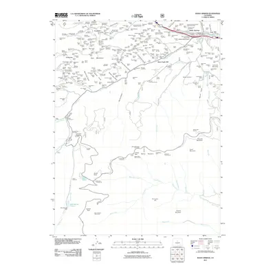
2011 Map of Idaho Springs
USGS Topo · Published 2011About this map
Idaho Springs serves as the hub of a landscape defined by its subterranean riches, where the legacy of hard-rock mining is etched into every gulch and mountain face. The northern half of the quadrangle is a dense network of claims and workings, including the landmark Argo Mill and the Colorado School of Mines Experimental Mine. Settlements like Freeland and Lamartine are surrounded by a high concentration of vertical shafts and horizontal tunnels, such as the Morgan Shaft and Tunnel Mine and the Giant Warrior Shaft Mine, illustrating the intense industrial extraction that shaped this part of the Front Range.
Find a feature on this map
269 named features on this map. Tap any name to fly to it.
Don’t see what you’re looking for? This feature index may not catch every label — zoom into the map to look around manually.
Map Details
Editions of this 2011 Idaho Springs Map
This is the sole edition of this map. No revisions or reprints were ever made.
Other maps of this area

1899 · West Denver
USGS Topo · 1:125,000

1903 · Georgetown
USGS Topo · 1:62,500

1905 · Central City
USGS Topo · 1:62,500

1905 · Georgetown
USGS Topo · 1:62,500

1906 · Blackhawk
USGS Topo · 1:62,500

1910 · Central City
USGS Topo · 1:62,500

1912 · Central City
USGS Topo · 1:62,500

1942 · Central City
USGS Topo · 1:24,000

1942 · Black Hawk
USGS Topo · 1:24,000

1944 · Black Hawk
USGS Topo · 1:31,680