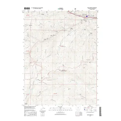
2016 Map of Idaho Springs
USGS Topo · Published 2016About this map
Idaho Springs serves as the focal point of this 2016 survey, where the historic industrial heritage of Clear Creek County is evidenced by the prominent Argo Mill and Black Eagle Mill. The settlement pattern reflects a deep history of high-altitude mining and recreation, from the established streets of the town itself to remote sites like Freeland and Lamartine. The landscape is dominated by significant peaks such as Chief Mtn and Goliath Peak, while the Arapaho National Forest provides a backdrop for a complex network of forest roads and trails.
Find a feature on this map
97 named features on this map. Tap any name to fly to it.
Don’t see what you’re looking for? This feature index may not catch every label — zoom into the map to look around manually.
Map Details
Editions of this 2016 Idaho Springs Map
This is the sole edition of this map. No revisions or reprints were ever made.
Other maps of this area

1899 · West Denver
USGS Topo · 1:125,000

1903 · Georgetown
USGS Topo · 1:62,500

1905 · Central City
USGS Topo · 1:62,500

1905 · Georgetown
USGS Topo · 1:62,500

1906 · Blackhawk
USGS Topo · 1:62,500

1910 · Central City
USGS Topo · 1:62,500

1912 · Central City
USGS Topo · 1:62,500

1942 · Central City
USGS Topo · 1:24,000

1942 · Black Hawk
USGS Topo · 1:24,000

1944 · Black Hawk
USGS Topo · 1:31,680