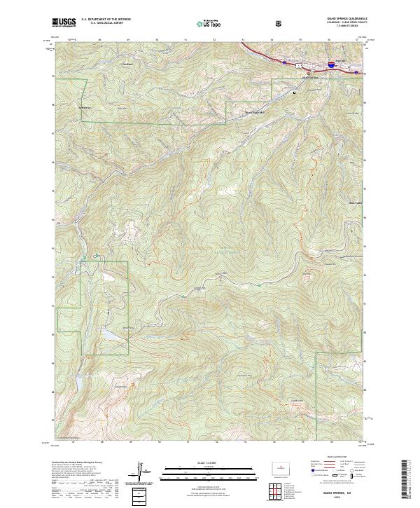
2023 Map of Idaho Springs
USGS Topo · Published 2023About this map
Idaho Springs serves as the focal point for this survey, situated along the corridor of Clear Creek and marked by the massive footprint of the Argo Mill. The landscape transitions from the developed valley floor to the high-elevation wilderness of the Mount Evans Wilderness and Arapaho National Forest. Mining history is evidenced by the namesake Black Eagle Mill and older settlement sites like Freeland and Lamartine.
Find a feature on this map
119 named features on this map. Tap any name to fly to it.
Don’t see what you’re looking for? This feature index may not catch every label — zoom into the map to look around manually.
Map Details
Editions of this 2023 Idaho Springs Map
This is the sole edition of this map. No revisions or reprints were ever made.
Other maps of this area

1899 · West Denver
USGS Topo · 1:125,000

1903 · Georgetown
USGS Topo · 1:62,500

1905 · Central City
USGS Topo · 1:62,500

1905 · Georgetown
USGS Topo · 1:62,500

1906 · Blackhawk
USGS Topo · 1:62,500

1910 · Central City
USGS Topo · 1:62,500

1912 · Central City
USGS Topo · 1:62,500

1942 · Central City
USGS Topo · 1:24,000

1942 · Black Hawk
USGS Topo · 1:24,000

1944 · Black Hawk
USGS Topo · 1:31,680