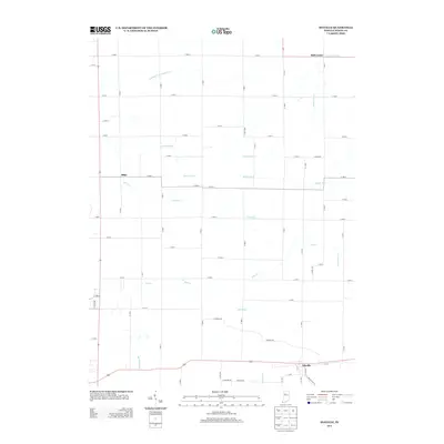
2013 Map of Idaville
USGS Topo · Published 2013About this map
Idaville anchors the southeastern corner of this White County landscape, where the local road network begins to tighten around the small settlement. The surrounding terrain is defined by an extensive system of engineered waterways and natural streams that speak to the area's agricultural development. Water management is central to the local geography, visible through a grid of drainage features such as Carnahan Ditch Number Two, Timmons Ditch, and Burgett Ditch, which intersect the flat Indiana plains to support the surrounding farms.
Find a feature on this map
61 named features on this map. Tap any name to fly to it.
Don’t see what you’re looking for? This feature index may not catch every label — zoom into the map to look around manually.
Map Details
Editions of this 2013 Idaville Map
This is the sole edition of this map. No revisions or reprints were ever made.
Other maps of this area

1953 · Danville
USGS Topo · 1:250,000

1955 · Danville
USGS Topo · 1:250,000

1956 · Danville
USGS Topo · 1:250,000

1962 · Buffalo
USGS Topo · 1:24,000

1962 · Burrows
USGS Topo · 1:24,000

1962 · Monticello South
USGS Topo · 1:24,000

1962 · Monon NE
USGS Topo · 1:24,000

1962 · Star City
USGS Topo · 1:24,000

1962 · Burnettsville
USGS Topo · 1:24,000

1962 · Monticello North
USGS Topo · 1:24,000