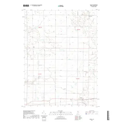
2019 Map of Idaville
USGS Topo · Published 2019About this map
Idaville and the surrounding agricultural lands of White County are defined by a complex network of man-made drainage ditches and natural creeks. This 2019 survey captures the modern rural landscape where the small settlements of Bell Center and Sitka anchor the northern and western reaches of the quadrangle. The terrain is crisscrossed by an extensive grid of country roads, including E 400 N and E 500 N, which facilitate movement between the scattered farmsteads and small communities.
Find a feature on this map
47 named features on this map. Tap any name to fly to it.
Don’t see what you’re looking for? This feature index may not catch every label — zoom into the map to look around manually.
Map Details
Editions of this 2019 Idaville Map
This is the sole edition of this map. No revisions or reprints were ever made.
Other maps of this area

1953 · Danville
USGS Topo · 1:250,000

1955 · Danville
USGS Topo · 1:250,000

1956 · Danville
USGS Topo · 1:250,000

1962 · Buffalo
USGS Topo · 1:24,000

1962 · Burrows
USGS Topo · 1:24,000

1962 · Monticello South
USGS Topo · 1:24,000

1962 · Monon NE
USGS Topo · 1:24,000

1962 · Star City
USGS Topo · 1:24,000

1962 · Burnettsville
USGS Topo · 1:24,000

1962 · Monticello North
USGS Topo · 1:24,000