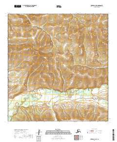
2019 Map of Iditarod A-3 NE
USGS Topo · Published 2019About this map
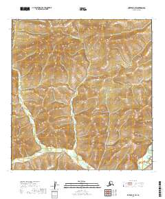
East Fork George River meanders through this undeveloped reach of the Yukon-Koyukuk region, anchoring a landscape dominated by extensive wetlands and complex drainage patterns. The river valley is characterized by broad alluvial flats, where the Little S Fork joins the primary waterway amidst a dense network of seasonal marshes. These features represent the typical hydrological character of the Alaska interior, where unconstrained watercourses define the topography. The absence of named human settlements or roads underscores the wilderness nature of the area during this period, leaving the natural course of the river as the primary landmark for navigation or environmental study. This survey provides a precise record of the river's path and the surrounding wetland distribution before further natural shifts occur in this dynamic subarctic environment.
Find a feature on this map
6 named features on this map. Tap any name to fly to it.
Don’t see what you’re looking for? This feature index may not catch every label — zoom into the map to look around manually.
Map Details
Editions of this 2019 Iditarod A-3 NE Map
This is the sole edition of this map. No revisions or reprints were ever made.
Other maps of this area

1951 · Iditarod
USGS Topo · 1:250,000

1954 · Iditarod B-2
USGS Topo · 1:63,360

1954 · Iditarod A-3
USGS Topo · 1:63,360

1954 · Iditarod A-2
USGS Topo · 1:63,360

1954 · Iditarod B-3
USGS Topo · 1:63,360

1956 · Iditarod
USGS Topo · 1:250,000
2019 · Iditarod B-3 SE
USGS Topo · 1:25,000
2019 · Iditarod A-3 SW
USGS Topo · 1:25,000
2019 · Iditarod A-3 NW
USGS Topo · 1:25,000
2019 · Iditarod B-3 SW
USGS Topo · 1:25,000