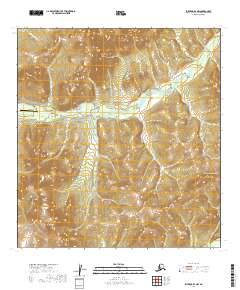
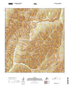
2019 Map of Iditarod B-4 NW
USGS Topo · Published 2019About this map
Discovery sits at the heart of this landscape in the northern foothills of the Kuskokwim Mountains, where a dense network of gold-bearing creeks defines the local geography. The map reveals the intense hydrological focus of the region, as waterways like Otter Cr and Slate Cr drain the high ground near Chicken Mtn. The orientation of features such as Malamute Gulch and First Chance Cr reflects the historic mining legacy of the Iditarod district, where every drainage was surveyed for its mineral potential. Transportation in this remote interior is anchored by the Flat Airport, a critical lifeline for a settlement pattern dictated by the placement of creek beds rather than traditional road networks. The terrain transitions from these active valleys up to the higher peaks, providing a clear view of the drainage patterns used by prospectors and modern residents alike.
Find a feature on this map
23 named features on this map. Tap any name to fly to it.
Don’t see what you’re looking for? This feature index may not catch every label — zoom into the map to look around manually.
Map Details
Editions of this 2019 Iditarod B-4 NW Map
This is the sole edition of this map. No revisions or reprints were ever made.
Other maps of this area

1951 · Iditarod
USGS Topo · 1:250,000

1954 · Iditarod C-4
USGS Topo · 1:63,360

1954 · Iditarod B-5
USGS Topo · 1:63,360

1954 · Iditarod C-5
USGS Topo · 1:63,360

1954 · Iditarod B-4
USGS Topo · 1:63,360

1956 · Iditarod
USGS Topo · 1:250,000
2019 · Iditarod B-4 SE
USGS Topo · 1:25,000
2019 · Iditarod B-4 SW
USGS Topo · 1:25,000
2019 · Iditarod C-4 SW
USGS Topo · 1:25,000
2019 · Iditarod C-4 SE
USGS Topo · 1:25,000