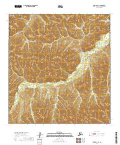
2019 Map of Iditarod C-1 SE
USGS Topo · Published 2019About this map
The Kuskokwim Mountains dominate this remote landscape within the Yukon-Koyukuk Census Area, where steep terrain and high-elevation contours define the interior of Alaska. The northern and southern stretches of the Black River wind through the hills, creating a distinct drainage pattern across the central portion of the map. This area is defined by its topographic complexity, marked by the intersection of several township boundaries including t29n r37w and t28n r37w. The absence of developed roads or settlements in this 2019 survey reflects the wilderness character of the region, emphasizing the natural geography of the mountain range and the serpentine path of its waterways.
Find a feature on this map
7 named features on this map. Tap any name to fly to it.
Don’t see what you’re looking for? This feature index may not catch every label — zoom into the map to look around manually.
Map Details
Editions of this 2019 Iditarod C-1 SE Map
This is the sole edition of this map. No revisions or reprints were ever made.
Other maps of this area

1949 · McGrath
USGS Topo · 1:250,000

1950 · McGrath
USGS Topo · 1:250,000

1951 · Iditarod
USGS Topo · 1:250,000

1954 · Iditarod B-1
USGS Topo · 1:63,360

1954 · McGrath B-6
USGS Topo · 1:63,360

1954 · McGrath C-6
USGS Topo · 1:63,360
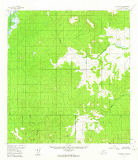
1956 · Iditarod C-1
USGS Topo · 1:63,360

1956 · Iditarod
USGS Topo · 1:250,000

1958 · McGrath
USGS Topo · 1:250,000
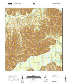
2019 · McGrath C-6 SW
USGS Topo · 1:25,000