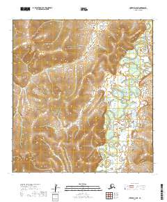
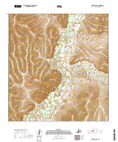
2019 Map of Iditarod C-5 NE
USGS Topo · Published 2019About this map
The Iditarod River meanders through the eastern edge of this Interior Alaska landscape, defining a remote corridor within the Yukon-Koyukuk Census Area. This 2019 survey, based on elevation data and imagery from the previous decade, captures the unpopulated terrain as it appeared in the early 21st century. The map is primarily characterized by significant elevation changes, with ridges and drainages such as Franklin Cr in the southwest feeding the broader watershed. The absence of roads or established settlements emphasizes the wilderness character of the region, where the primary organizational markers are the Public Land Survey System township and range boundaries, including t30n r47w and t31n r48w. Researchers of Alaskan geography can observe the complex topographical contour patterns that dictate the flow of minor tributaries toward the larger river systems of the Iditarod district.
Find a feature on this map
8 named features on this map. Tap any name to fly to it.
Don’t see what you’re looking for? This feature index may not catch every label — zoom into the map to look around manually.
Map Details
Editions of this 2019 Iditarod C-5 NE Map
This is the sole edition of this map. No revisions or reprints were ever made.
Other maps of this area

1951 · Iditarod
USGS Topo · 1:250,000

1954 · Iditarod C-4
USGS Topo · 1:63,360

1954 · Iditarod C-5
USGS Topo · 1:63,360

1954 · Iditarod D-5
USGS Topo · 1:63,360

1954 · Iditarod D-4
USGS Topo · 1:63,360

1956 · Iditarod
USGS Topo · 1:250,000
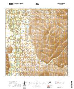
2019 · Iditarod D-4 SW
USGS Topo · 1:25,000
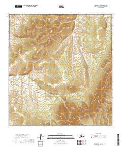
2019 · Iditarod C-4 SW
USGS Topo · 1:25,000
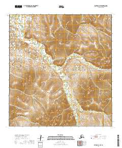
2019 · Iditarod C-4 NW
USGS Topo · 1:25,000
2019 · Iditarod C-5 SE
USGS Topo · 1:25,000