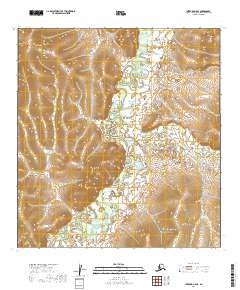
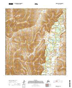
2019 Map of Iditarod C-5 SE
USGS Topo · Published 2019About this map
Iditarod sits along the winding course of the Iditarod River in this remote section of the Yukon-Koyukuk Census Area. This territory, synonymous with the early twentieth-century gold rush and the historic sled dog trail, is defined by its complex drainage network and low-lying wetlands. The map details the intricate meanders of the primary river as it flows through the western and central portions of the quadrangle, joined by several smaller tributaries including Franklin Cr and Belle Cr.
Find a feature on this map
12 named features on this map. Tap any name to fly to it.
Don’t see what you’re looking for? This feature index may not catch every label — zoom into the map to look around manually.
Map Details
Editions of this 2019 Iditarod C-5 SE Map
This is the sole edition of this map. No revisions or reprints were ever made.
Other maps of this area

1951 · Iditarod
USGS Topo · 1:250,000

1954 · Iditarod C-4
USGS Topo · 1:63,360

1954 · Iditarod B-5
USGS Topo · 1:63,360

1954 · Iditarod C-5
USGS Topo · 1:63,360

1954 · Iditarod B-4
USGS Topo · 1:63,360

1956 · Iditarod
USGS Topo · 1:250,000
2019 · Iditarod B-4 NW
USGS Topo · 1:25,000
2019 · Iditarod C-4 SW
USGS Topo · 1:25,000
2019 · Iditarod C-4 NW
USGS Topo · 1:25,000
2019 · Iditarod C-5 NE
USGS Topo · 1:25,000