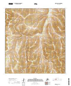
2019 Map of Iditarod C-6 SE
USGS Topo · Published 2019About this map
Little Yetna River winds through this expanse of the Yukon-Koyukuk region, carving a narrow valley through a landscape defined by significant elevation changes. This 2019 survey documents the intricate drainage patterns where the river acts as the primary topographic focal point, flowing across several township boundaries including t29n r50w and t28n r51w. The contour data reveals a series of prominent ridges and drainages that characterize the interior of Alaska, illustrating the natural hydrological corridors of the Little Yetna River basin before they join larger systems downstream.
Find a feature on this map
6 named features on this map. Tap any name to fly to it.
Don’t see what you’re looking for? This feature index may not catch every label — zoom into the map to look around manually.
Map Details
Editions of this 2019 Iditarod C-6 SE Map
This is the sole edition of this map. No revisions or reprints were ever made.
Other maps of this area

1951 · Iditarod
USGS Topo · 1:250,000

1954 · Iditarod B-5
USGS Topo · 1:63,360

1954 · Iditarod C-5
USGS Topo · 1:63,360
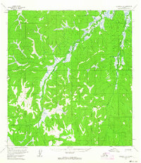
1954 · Iditarod C-6
USGS Topo · 1:63,360
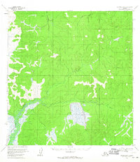
1954 · Iditarod B-6
USGS Topo · 1:63,360

1956 · Iditarod
USGS Topo · 1:250,000
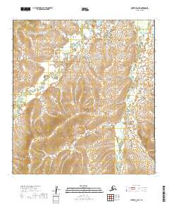
2019 · Iditarod C-6 NE
USGS Topo · 1:25,000
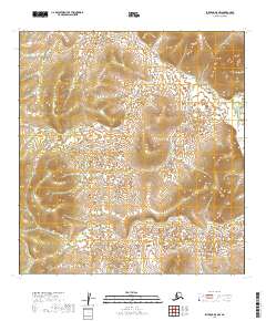
2019 · Iditarod B-5 NW
USGS Topo · 1:25,000
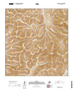
2019 · Iditarod B-6 NW
USGS Topo · 1:25,000
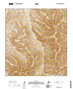
2019 · Iditarod C-5 NW
USGS Topo · 1:25,000