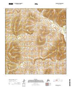
2019 Map of Iditarod B-5 NW
USGS Topo · Published 2019About this map
The Iditarod River meanders through the eastern edge of this landscape, its path defining a remote interior corridor within the Yukon-Koyukuk region. In this high-latitude terrain, the drainage patterns of Fairbanks Cr and Trail Cr carve through the upland slopes, marking the natural transit routes that have historically guided exploration and travel through the Alaskan interior. The map reveals a wild, unpopulated expanse where the topography is the primary story, dictated by the elevation changes across several townships including t27n r49w and t28n r49w. This particular area is a study in northern hydrology and land division, showing the intersection of survey lines and natural watercourses at a 1:25,000 scale.
Find a feature on this map
12 named features on this map. Tap any name to fly to it.
Don’t see what you’re looking for? This feature index may not catch every label — zoom into the map to look around manually.
Map Details
Editions of this 2019 Iditarod B-5 NW Map
This is the sole edition of this map. No revisions or reprints were ever made.
Other maps of this area

1951 · Iditarod
USGS Topo · 1:250,000

1954 · Iditarod B-5
USGS Topo · 1:63,360

1954 · Iditarod C-5
USGS Topo · 1:63,360
1954 · Iditarod C-6
USGS Topo · 1:63,360
1954 · Iditarod B-6
USGS Topo · 1:63,360

1956 · Iditarod
USGS Topo · 1:250,000
2019 · Iditarod C-5 SE
USGS Topo · 1:25,000
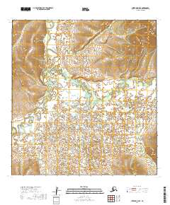
2019 · Iditarod B-5 SE
USGS Topo · 1:25,000
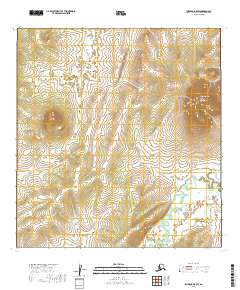
2019 · Iditarod B-5 SW
USGS Topo · 1:25,000
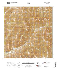
2019 · Iditarod B-6 NE
USGS Topo · 1:25,000