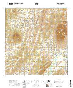
2019 Map of Iditarod B-5 SW
USGS Topo · Published 2019About this map
The Iditarod River meanders through this section of the Yukon-Koyukuk Census Area, marking a landscape defined by its remote waterways and significant elevation changes. To the northeast, the terrain rises sharply toward Swinging Dome, a prominent high point that overlooks the surrounding river valleys. The hydrology of the region is dense, with the Reindeer River flowing through the southwestern reaches and several smaller tributaries like Fairbanks Cr, Pedro Cr, and Glacier Cr draining the upland slopes. The drainage patterns shown here reflect the natural state of the Alaskan interior, illustrating how the major rivers and their smaller creeks have carved through the land. This survey provides a precise record of the topography and water systems within the boundaries of townships such as t26n r49w and t25n r48w.
Find a feature on this map
12 named features on this map. Tap any name to fly to it.
Don’t see what you’re looking for? This feature index may not catch every label — zoom into the map to look around manually.
Map Details
Editions of this 2019 Iditarod B-5 SW Map
This is the sole edition of this map. No revisions or reprints were ever made.
Other maps of this area

1951 · Iditarod
USGS Topo · 1:250,000

1954 · Iditarod A-6
USGS Topo · 1:63,360

1954 · Iditarod A-5
USGS Topo · 1:63,360

1954 · Iditarod B-5
USGS Topo · 1:63,360
1954 · Iditarod B-6
USGS Topo · 1:63,360

1956 · Iditarod
USGS Topo · 1:250,000
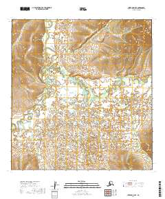
2019 · Iditarod B-5 SE
USGS Topo · 1:25,000
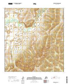
2019 · Iditarod A-5 NW
USGS Topo · 1:25,000
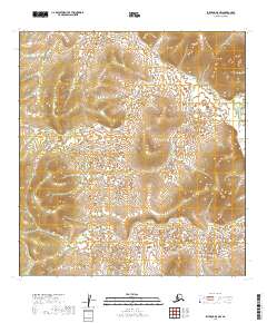
2019 · Iditarod B-5 NW
USGS Topo · 1:25,000
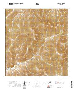
2019 · Iditarod B-6 NE
USGS Topo · 1:25,000