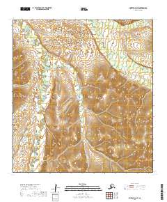
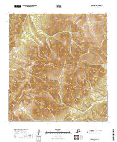
2019 Map of Iditarod D-3 SW
USGS Topo · Published 2019About this map
The Dishna River meanders through the western reaches of this interior landscape, marking a low-lying drainage basin defined by seasonal wetlands and shifting watercourses. In the northeast, a network of tributaries including Windy Cr, California Creek, and Moose Cr carve through the rising elevation of the central uplands. The terrain here represents a transition from riverine flats to more pronounced ridges, where drainage patterns like Billy Goat Cr follow the natural contours of the Alaskan wilderness. This survey details the complex hydrography of the region before it reaches larger basin confluences, providing a precise look at the small-stream network that has historically supported subsistence and travel in the Yukon-Koyukuk area.
Find a feature on this map
10 named features on this map. Tap any name to fly to it.
Don’t see what you’re looking for? This feature index may not catch every label — zoom into the map to look around manually.
Map Details
Editions of this 2019 Iditarod D-3 SW Map
This is the sole edition of this map. No revisions or reprints were ever made.
Other maps of this area

1951 · Iditarod
USGS Topo · 1:250,000

1954 · Iditarod C-4
USGS Topo · 1:63,360

1954 · Iditarod C-3
USGS Topo · 1:63,360

1954 · Iditarod D-3
USGS Topo · 1:63,360

1954 · Iditarod D-4
USGS Topo · 1:63,360

1956 · Iditarod
USGS Topo · 1:250,000
2019 · Iditarod C-3 NW
USGS Topo · 1:25,000
2019 · Iditarod D-3 NE
USGS Topo · 1:25,000
2019 · Iditarod D-4 NE
USGS Topo · 1:25,000
2019 · Iditarod C-3 NE
USGS Topo · 1:25,000