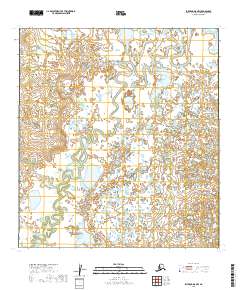
2019 Map of Iditarod D-5 NW
USGS Topo · Published 2019About this map
Big Yetna River dominates this interior Alaskan landscape, winding through a complex network of wetlands and oxbow lakes. The 2019 survey documents a terrain defined by shifting watercourses and seasonal saturation, where the river's meandering path across the Yukon-Koyukuk region creates a labyrinth of small ponds and unnamed tributaries. This document is primarily a record of the natural hydrology and the public land survey system grid, including townships like t34n r48w and t33n r49w. The absence of named settlements or roads reflects the isolation of this portion of the Alaskan interior, providing researchers a base map of the untouched riparian environment as it existed in the early twenty-first century.
Find a feature on this map
10 named features on this map. Tap any name to fly to it.
Don’t see what you’re looking for? This feature index may not catch every label — zoom into the map to look around manually.
Map Details
Editions of this 2019 Iditarod D-5 NW Map
This is the sole edition of this map. No revisions or reprints were ever made.
Other maps of this area

1951 · Ophir
USGS Topo · 1:250,000

1951 · Iditarod
USGS Topo · 1:250,000

1954 · Ophir A-6
USGS Topo · 1:63,360

1954 · Iditarod D-6
USGS Topo · 1:63,360

1954 · Ophir A-5
USGS Topo · 1:63,360

1954 · Iditarod D-5
USGS Topo · 1:63,360

1954 · Ophir
USGS Topo · 1:250,000

1956 · Iditarod
USGS Topo · 1:250,000
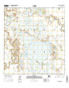
2016 · Ophir A-5 SE
USGS Topo · 1:25,000
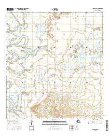
2016 · Ophir A-6 SE
USGS Topo · 1:25,000