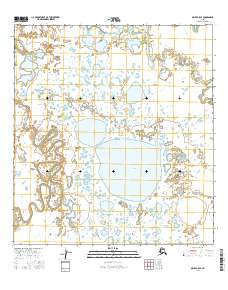
2016 Map of Ophir A-5 SE
USGS Topo · Published 2016About this map
Sixmile Lake dominates the central landscape of this western Alaska interior region, situated within the expansive drainages of the Big Yetna River. The river follows a highly sinuous path through the western portion of the terrain, its tight meanders and oxbow formations indicating a landscape shaped by persistent hydraulic action across a low-gradient floodplain. This 2016 survey by the U.S. Geological Survey details the intricate hydrography of the Yukon-Koyukuk region, where the vast network of unnamed ponds and wetlands surrounding the primary water bodies reflects the complex drainage patterns of the Alaskan bush. The map serves as a primary record of the natural topography and waterway orientations prior to more recent environmental shifts.
Find a feature on this map
8 named features on this map. Tap any name to fly to it.
Don’t see what you’re looking for? This feature index may not catch every label — zoom into the map to look around manually.
Map Details
Editions of this 2016 Ophir A-5 SE Map
This is the sole edition of this map. No revisions or reprints were ever made.
Other maps of this area

1951 · Ophir
USGS Topo · 1:250,000

1951 · Iditarod
USGS Topo · 1:250,000

1954 · Ophir A-5
USGS Topo · 1:63,360

1954 · Iditarod D-5
USGS Topo · 1:63,360

1954 · Ophir A-4
USGS Topo · 1:63,360

1954 · Iditarod D-4
USGS Topo · 1:63,360

1954 · Ophir
USGS Topo · 1:250,000

1956 · Iditarod
USGS Topo · 1:250,000
2014 · Ophir A-5 NW
USGS Topo · 1:25,000
2015 · Ophir A-5 NE
USGS Topo · 1:25,000