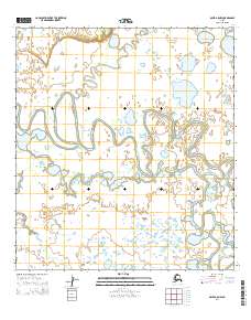
2014 Map of Ophir A-5 NW
USGS Topo · Published 2014About this map
The Iditarod River dominates this landscape, winding in tight, complex oxbows through a low-lying basin. The river's serpentine path is indicative of a highly active fluvial environment where shifting channels and abandoned meanders create a mosaic of wetlands. In the southeastern portion of the quadrangle, the Big Yetna River flows into the primary drainage, marking a significant confluence in this unsettled region of the Alaskan interior. This 2014 survey by the U.S. Geological Survey utilizes imagery from 2010 to document the natural state of the terrain within the townships of t26s r2e, t26s r3e, t27s r2e, and t27s r3e. The map serves as a precise record of water patterns and land boundaries in an area defined by its hydrology rather than permanent human settlement.
Find a feature on this map
6 named features on this map. Tap any name to fly to it.
Don’t see what you’re looking for? This feature index may not catch every label — zoom into the map to look around manually.
Map Details
Editions of this 2014 Ophir A-5 NW Map
This is the sole edition of this map. No revisions or reprints were ever made.
Other maps of this area

1951 · Ophir
USGS Topo · 1:250,000

1954 · Ophir A-6
USGS Topo · 1:63,360

1954 · Ophir A-5
USGS Topo · 1:63,360
1954 · Ophir B-6
USGS Topo · 1:63,360

1954 · Ophir B-5
USGS Topo · 1:63,360

1954 · Ophir
USGS Topo · 1:250,000
2014 · Ophir B-6 SE
USGS Topo · 1:25,000
2014 · Ophir B-5 SW
USGS Topo · 1:25,000
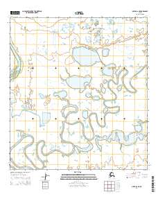
2014 · Ophir A-6 NE
USGS Topo · 1:25,000
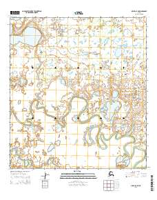
2015 · Ophir A-5 NE
USGS Topo · 1:25,000