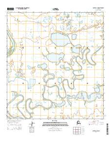
2014 Map of Ophir A-6 NE
USGS Topo · Published 2014About this map
The Iditarod River meanders extensively through this section of the Yukon-Koyukuk region, creating a complex network of oxbows and wetlands. This 2014 survey documents the hydrography of the interior river system, where the slow-moving waters of the Iditarod River and the Innoko River dominate the landscape. The geography is characterized by these intricate fluvial patterns and numerous unnamed lakes and ponds typical of the Alaskan interior's low-lying floodplains. Surveyed under the Public Land Survey System, the map shows the township and range lines for t26s r1e, t26s r2e, t27s r1e, and t27s r2e, providing a precise look at the land division in this largely uninhabited wilderness at the time of mapping.
Find a feature on this map
6 named features on this map. Tap any name to fly to it.
Don’t see what you’re looking for? This feature index may not catch every label — zoom into the map to look around manually.
Map Details
Editions of this 2014 Ophir A-6 NE Map
This is the sole edition of this map. No revisions or reprints were ever made.
Other maps of this area

1951 · Ophir
USGS Topo · 1:250,000

1954 · Ophir A-6
USGS Topo · 1:63,360

1954 · Ophir A-5
USGS Topo · 1:63,360
1954 · Ophir B-6
USGS Topo · 1:63,360

1954 · Ophir B-5
USGS Topo · 1:63,360

1954 · Ophir
USGS Topo · 1:250,000
2014 · Ophir B-6 SW
USGS Topo · 1:25,000
2014 · Ophir B-6 SE
USGS Topo · 1:25,000
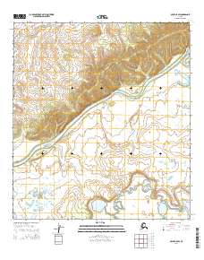
2014 · Ophir B-5 SW
USGS Topo · 1:25,000
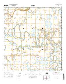
2014 · Ophir A-5 NW
USGS Topo · 1:25,000