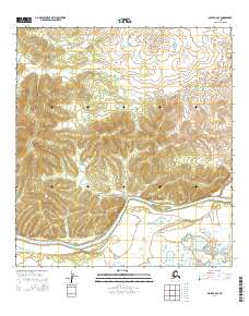
2014 Map of Ophir B-6 SE
USGS Topo · Published 2014About this map
The Innoko River winds through the southern portion of this interior landscape, defining the primary drainage for this remote section of the Yukon-Koyukuk region. In this modern 2014 survey, the terrain is characterized by expansive wetlands and low-lying river valleys, with the hydrology data sourced from the National Hydrography Dataset. The survey is organized by the Public Land Survey System, showing sections within townships t24s r1e, t25s r1e, and t26s r1e, along with their eastern counterparts in Range 2E. While the map is devoid of named settlements or man-made landmarks, the detailed contour lines and river path provide essential data for understanding the historical floodplains and natural boundaries of this Alaskan wilderness.
Find a feature on this map
7 named features on this map. Tap any name to fly to it.
Don’t see what you’re looking for? This feature index may not catch every label — zoom into the map to look around manually.
Map Details
Editions of this 2014 Ophir B-6 SE Map
This is the sole edition of this map. No revisions or reprints were ever made.
Other maps of this area

1951 · Ophir
USGS Topo · 1:250,000

1954 · Ophir A-6
USGS Topo · 1:63,360

1954 · Ophir A-5
USGS Topo · 1:63,360
1954 · Ophir B-6
USGS Topo · 1:63,360

1954 · Ophir B-5
USGS Topo · 1:63,360

1954 · Ophir
USGS Topo · 1:250,000
2014 · Ophir B-6 SW
USGS Topo · 1:25,000
2014 · Ophir B-5 SW
USGS Topo · 1:25,000
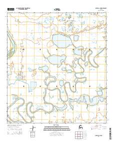
2014 · Ophir A-6 NE
USGS Topo · 1:25,000
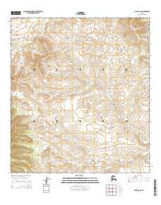
2014 · Ophir B-6 NE
USGS Topo · 1:25,000