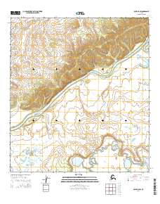
2014 Map of Ophir B-5 SW
USGS Topo · Published 2014About this map
The Innoko River defines the landscape of this region in the Yukon-Koyukuk Census Area, winding its way through the interior of Alaska. The terrain consists of low-lying wetlands and floodplains interspersed with more elevated ground, illustrating the natural hydrological patterns of the river valley. The topography is meticulously detailed, showing the intricate relationship between the river's path and the surrounding landforms.
Find a feature on this map
7 named features on this map. Tap any name to fly to it.
Don’t see what you’re looking for? This feature index may not catch every label — zoom into the map to look around manually.
Map Details
Editions of this 2014 Ophir B-5 SW Map
This is the sole edition of this map. No revisions or reprints were ever made.
Other maps of this area

1951 · Ophir
USGS Topo · 1:250,000

1954 · Ophir A-6
USGS Topo · 1:63,360

1954 · Ophir A-5
USGS Topo · 1:63,360
1954 · Ophir B-6
USGS Topo · 1:63,360

1954 · Ophir B-5
USGS Topo · 1:63,360

1954 · Ophir
USGS Topo · 1:250,000
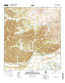
2014 · Ophir B-6 SE
USGS Topo · 1:25,000
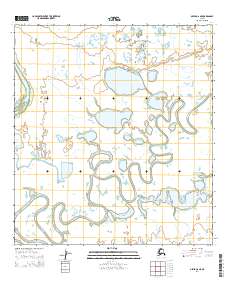
2014 · Ophir A-6 NE
USGS Topo · 1:25,000
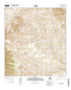
2014 · Ophir B-6 NE
USGS Topo · 1:25,000
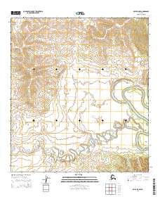
2014 · Ophir B-5 NW
USGS Topo · 1:25,000