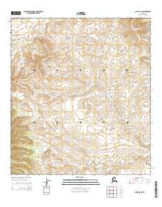
2014 Map of Ophir B-6 NE
USGS Topo · Published 2014About this map
The interior wilderness of the Yukon-Koyukuk region is defined by its subtle drainage patterns and vast township boundaries in this modern topographic study. Hather Cr winds through the northwestern corner of the quadrangle, serving as the primary named water feature in an otherwise nameless landscape of shifting contours. The map clearly delineates the convergence of several major land divisions, including t23s r1e, t23s r2e, t24s r1e, and t24s r2e. These Public Land Survey System designations underscore the methodical grid imposed on the Alaskan interior, providing essential coordinates for land claims and modern wilderness navigation in a region devoid of permanent settlements or infrastructure.
Find a feature on this map
5 named features on this map. Tap any name to fly to it.
Don’t see what you’re looking for? This feature index may not catch every label — zoom into the map to look around manually.
Map Details
Editions of this 2014 Ophir B-6 NE Map
This is the sole edition of this map. No revisions or reprints were ever made.
Other maps of this area

1951 · Ophir
USGS Topo · 1:250,000

1954 · Ophir C-6
USGS Topo · 1:63,360

1954 · Ophir C-5
USGS Topo · 1:63,360
1954 · Ophir B-6
USGS Topo · 1:63,360

1954 · Ophir B-5
USGS Topo · 1:63,360

1954 · Ophir
USGS Topo · 1:250,000
2014 · Ophir C-6 SE
USGS Topo · 1:25,000
2014 · Ophir B-6 SW
USGS Topo · 1:25,000
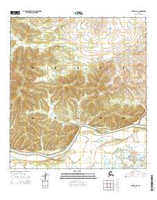
2014 · Ophir B-6 SE
USGS Topo · 1:25,000
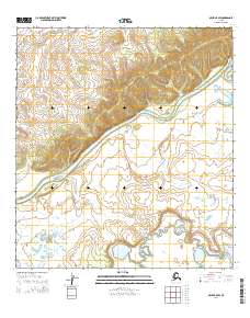
2014 · Ophir B-5 SW
USGS Topo · 1:25,000