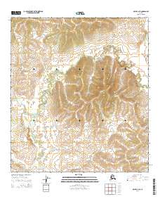
2014 Map of Ophir C-6 SE
USGS Topo · Published 2014About this map
Hather Cr and Menott Cr define the drainage patterns of this Alaskan interior landscape within the Yukon-Koyukuk region. The map reveals a transition of elevations across several townships, including t21s r1e, t22s r1e, and t23s r1e, where the terrain rises from creek-fed lowlands toward more significant ridges. This 2014 survey document, based on 2010 imagery and 2013 elevation data, illustrates the contemporary topographic state of this remote area. The Public Land Survey System grid overlay provides essential reference points for researchers interested in land boundaries and section lines in this portion of the Ophir C-6 SE quadrangle.
Find a feature on this map
8 named features on this map. Tap any name to fly to it.
Don’t see what you’re looking for? This feature index may not catch every label — zoom into the map to look around manually.
Map Details
Editions of this 2014 Ophir C-6 SE Map
This is the sole edition of this map. No revisions or reprints were ever made.
Other maps of this area

1951 · Ophir
USGS Topo · 1:250,000

1954 · Ophir C-6
USGS Topo · 1:63,360

1954 · Ophir C-5
USGS Topo · 1:63,360
1954 · Ophir B-6
USGS Topo · 1:63,360

1954 · Ophir B-5
USGS Topo · 1:63,360

1954 · Ophir
USGS Topo · 1:250,000
2014 · Ophir C-6 NE
USGS Topo · 1:25,000
2014 · Ophir B-6 NE
USGS Topo · 1:25,000
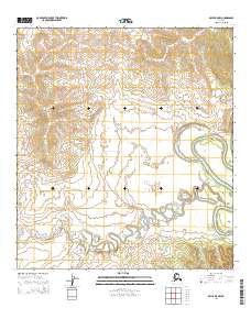
2014 · Ophir B-5 NW
USGS Topo · 1:25,000
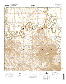
2014 · Ophir C-5 SW
USGS Topo · 1:25,000