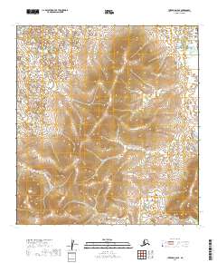
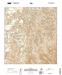
2019 Map of Iditarod D-5 SE
USGS Topo · Published 2019About this map
The interior of the T32n R48w and T32n R47w townships define this section of the Yukon-Koyukuk Census Area. This landscape is characterized by a dense network of lakes and wetlands in the northern lowlands, contrasting with the rising elevations of the southern interior. The absence of named settlements, roads, or man-made structures on this 2019 survey emphasizes the isolation of the Alaskan bush. Researchers of the Public Land Survey System can trace the boundaries between T31n R48w and T31n R47w, visualizing the raw topography of the Iditarod region where the natural hydrography remains the primary landmark.
Find a feature on this map
4 named features on this map. Tap any name to fly to it.
Don’t see what you’re looking for? This feature index may not catch every label — zoom into the map to look around manually.
Map Details
Editions of this 2019 Iditarod D-5 SE Map
This is the sole edition of this map. No revisions or reprints were ever made.
Other maps of this area

1951 · Iditarod
USGS Topo · 1:250,000

1954 · Iditarod C-4
USGS Topo · 1:63,360

1954 · Iditarod C-5
USGS Topo · 1:63,360

1954 · Iditarod D-5
USGS Topo · 1:63,360

1954 · Iditarod D-4
USGS Topo · 1:63,360

1956 · Iditarod
USGS Topo · 1:250,000
2019 · Iditarod D-4 SW
USGS Topo · 1:25,000
2019 · Iditarod D-4 NW
USGS Topo · 1:25,000
2019 · Iditarod C-4 NW
USGS Topo · 1:25,000
2019 · Iditarod D-5 SW
USGS Topo · 1:25,000