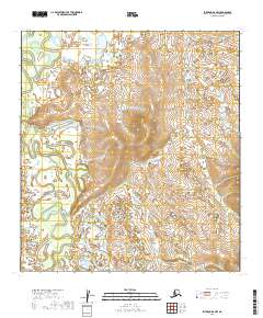
2019 Map of Iditarod D-4 NW
USGS Topo · Published 2019About this map
The Iditarod River meanders through the western portion of this 2019 survey, defining a landscape of low-lying wetlands and oxbow formations characteristic of the Yukon-Koyukuk region. In the central and eastern sections, the terrain rises toward unnamed uplands drained by Horsefly Cr and Glacier Cr. These tributaries flow through distinct valleys that reveal the underlying topography of the Iditarod mining district's northern reaches. This modern study documents the intricate drainage patterns and hydrological features of the Alaskan interior, providing a precise look at the land's character long after the peak of the regional gold rushes. The absence of roads or permanent structures reflects the enduring wilderness of this remote census area.
Find a feature on this map
12 named features on this map. Tap any name to fly to it.
Don’t see what you’re looking for? This feature index may not catch every label — zoom into the map to look around manually.
Map Details
Editions of this 2019 Iditarod D-4 NW Map
This is the sole edition of this map. No revisions or reprints were ever made.
Other maps of this area

1951 · Ophir
USGS Topo · 1:250,000

1951 · Iditarod
USGS Topo · 1:250,000

1954 · Ophir A-5
USGS Topo · 1:63,360

1954 · Iditarod D-5
USGS Topo · 1:63,360

1954 · Ophir A-4
USGS Topo · 1:63,360

1954 · Iditarod D-4
USGS Topo · 1:63,360

1954 · Ophir
USGS Topo · 1:250,000

1956 · Iditarod
USGS Topo · 1:250,000
2016 · Ophir A-4 SW
USGS Topo · 1:25,000
2016 · Ophir A-5 SE
USGS Topo · 1:25,000