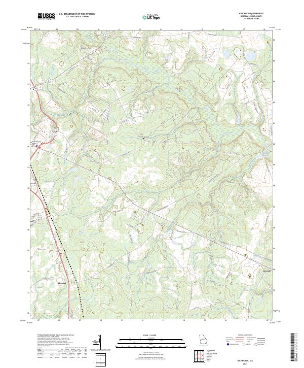
2024 Map of Idlewood
USGS Topo · Published 2024About this map
Brier Creek and its complex network of tributaries, including Strawberry Branch and Fitz Branch, dominate this rural landscape in Burke County. The settlement of Alexander sits in the southeast corner, connected by a web of local routes like Old Church Rd and Asbury Church Rd. To the west, the Burke County Airport and Burke Memorial Gardens provide modern landmarks amidst a landscape still largely defined by family-named tracks and traditional land divisions.
Find a feature on this map
74 named features on this map. Tap any name to fly to it.
Don’t see what you’re looking for? This feature index may not catch every label — zoom into the map to look around manually.
Map Details
Editions of this 2024 Idlewood Map
This is the sole edition of this map. No revisions or reprints were ever made.
Historical Maps of Waynesboro Through Time
17 maps found
1920 Greens Cut
Burke County, GA

1943 Greens Cut
Burke County, GA
1950 Storys Millpond
Burke County, GA
1964 Alexander
Burke County, GA
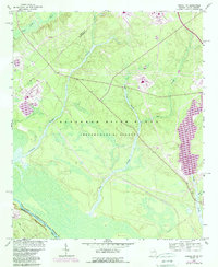
1964 Girard NW
Burke County, GA
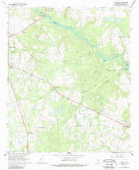
1964 Idlewood
Burke County, GA
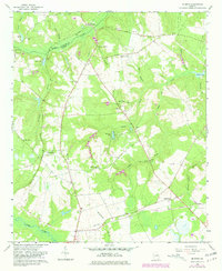
1964 Mc Bean
Burke County, GA
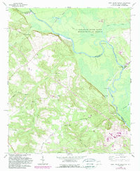
1965 Shell Bluff Landing
Burke County, GA
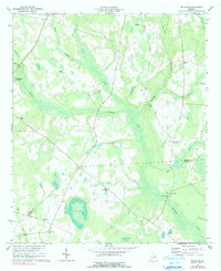
1974 Bellevue
Burke County, GA
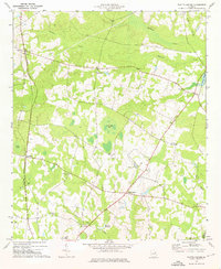
1974 Scotts Corner
Burke County, GA
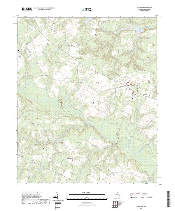
2024 Alexander
Burke County, GA
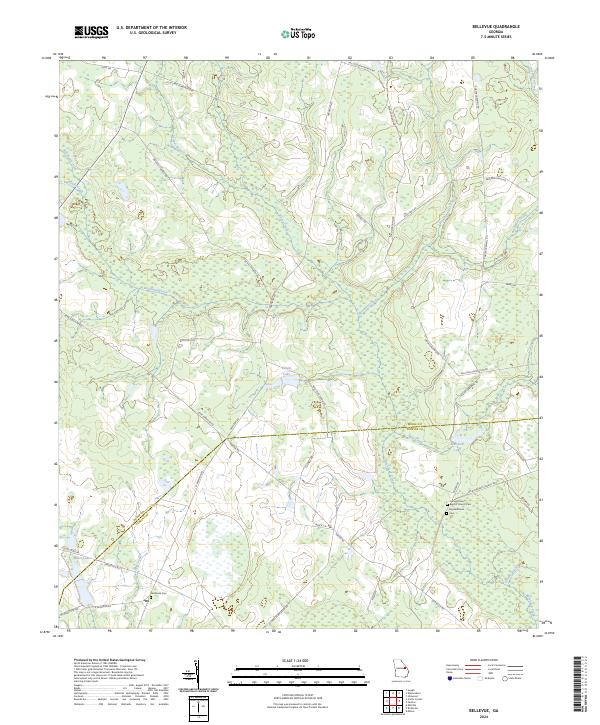
2024 Bellevue
Burke County, GA
2024 Idlewood
Burke County, GA
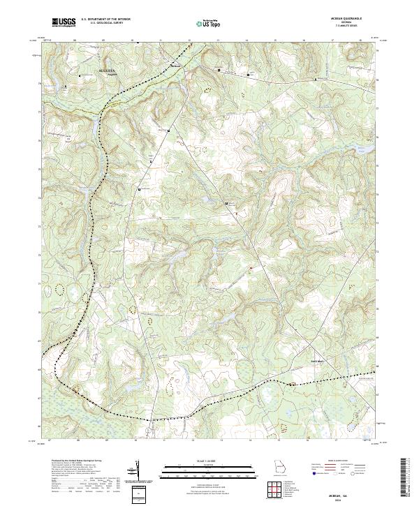
2024 McBean
Burke County, GA
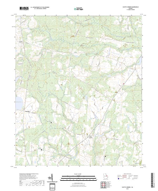
2024 Scotts Corner
Burke County, GA
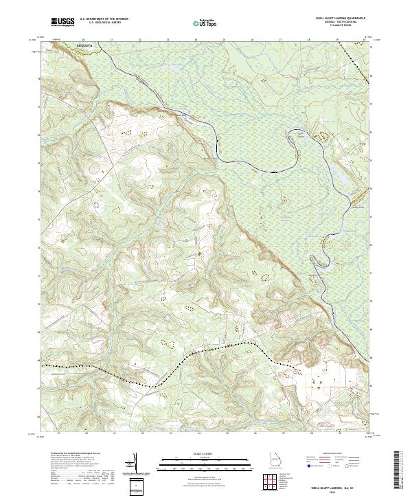
2024 Shell Bluff Landing
Burke County, GA
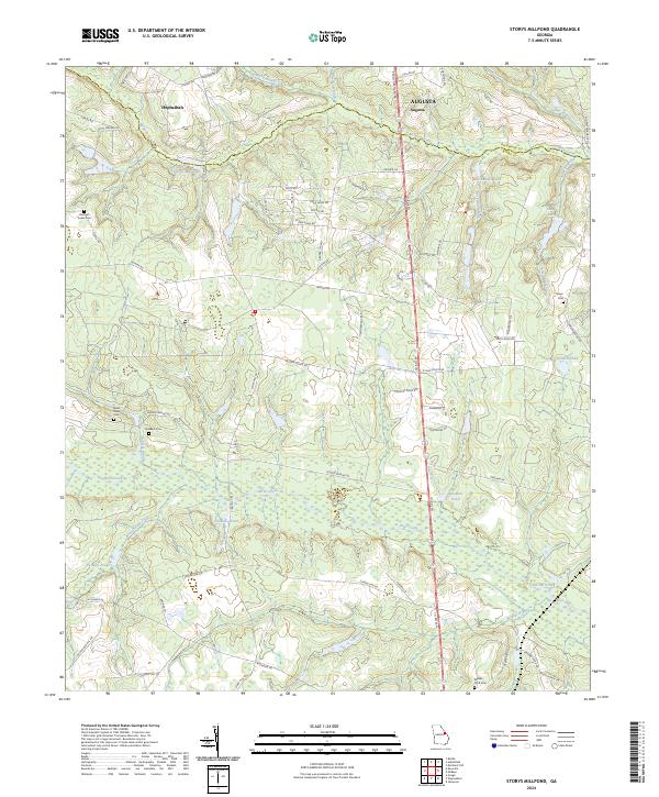
2024 Storys Millpond
Burke County, GA