
1970 Map of Igo Butte
USGS Topo · Published 1973About this map
Alville and the high summit of Igo Butte anchor this landscape in Gilliam County, Oregon. Surveyed in 1970, the map reveals a remote terrain defined by deep drainages like Tenmile Canyon and Ferry Canyon, where natural springs provide critical water sources. The small community of Alville is notable for its Igo Cemetery and proximity to a local Grange Hall, reflecting the social and agricultural roots of this high-plateau region.
Find a feature on this map
55 named features on this map. Tap any name to fly to it.
Don’t see what you’re looking for? This feature index may not catch every label — zoom into the map to look around manually.
Map Details
Editions of this 1970 Igo Butte Map
This is the sole edition of this map. No revisions or reprints were ever made.
Other maps of this area

1916 · Condon
USGS Topo · 1:125,000

1953 · The Dalles
USGS Topo · 1:250,000

1956 · The Dalles
USGS Topo · 1:250,000

1957 · The Dalles
USGS Topo · 1:250,000

1970 · Devils Backbone
USGS Topo · 1:24,000
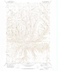
1970 · Schott Canyon
USGS Topo · 1:24,000

1970 · Condon
USGS Topo · 1:24,000
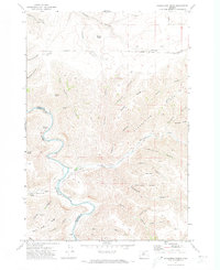
1970 · Shoestring Ridge
USGS Topo · 1:24,000
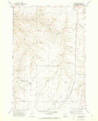
1970 · Gwendolen
USGS Topo · 1:24,000
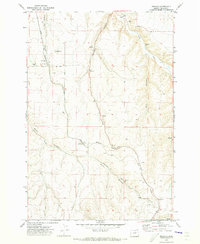
1970 · Mikkalo
USGS Topo · 1:24,000