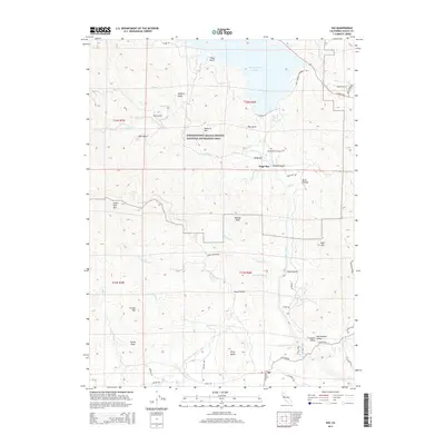
2015 Map of Igo
USGS Topo · Published 2015About this map
Whiskeytown Lake dominates the northern reaches of this Shasta County landscape, situated within the Whiskeytown-Shasta-Trinity National Recreation Area. The rugged terrain is defined by a dense network of gulches and ridges, including Miners Gulch, Orofino Gulch, and Stony Gulch, reflecting the area's deep ties to historic mining activities. Further south, the settlement of Igo marks a transition where the foothills begin to level out toward the Sacramento Central Valley.
Find a feature on this map
59 named features on this map. Tap any name to fly to it.
Don’t see what you’re looking for? This feature index may not catch every label — zoom into the map to look around manually.
Map Details
Editions of this 2015 Igo Map
This is the sole edition of this map. No revisions or reprints were ever made.
Other maps of this area
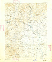
1890 · Red Bluff
USGS Topo · 1:250,000
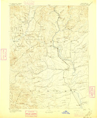
1894 · Red Bluff
USGS Topo · 1:250,000
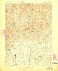
1901 · Redding
USGS Topo · 1:125,000
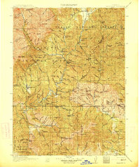
1913 · Weaverville
USGS Topo · 1:125,000
1932 · Olinda
USGS Topo · 1:31,680
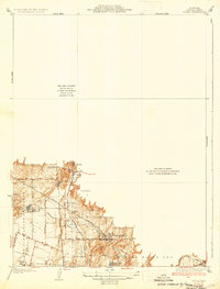
1935 · Olinda
USGS Topo · 1:31,680
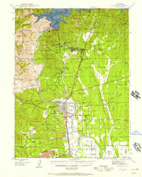
1944 · Redding
USGS Topo · 1:62,500
1944 · French Gulch
USGS Topo · 1:62,500
1946 · Redding
USGS Topo · 1:62,500
1947 · Anderson
USGS Topo · 1:62,500