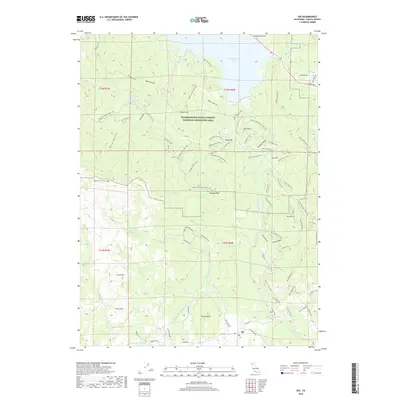
2018 Map of Igo
USGS Topo · Published 2018About this map
Whiskeytown Lake and its surrounding canyons dominate this portion of the Whiskeytown-Shasta-Trinity National Recreation Area. The landscape is a complex network of ridges and watercourses, including Clear Creek and Kanaka Cr, which have long shaped the local topography and human transit. The settlement of Igo sits at the southern edge, connected to the backcountry by a dense web of historic paths and utility routes.
Find a feature on this map
86 named features on this map. Tap any name to fly to it.
Don’t see what you’re looking for? This feature index may not catch every label — zoom into the map to look around manually.
Map Details
Editions of this 2018 Igo Map
This is the sole edition of this map. No revisions or reprints were ever made.
Other maps of this area
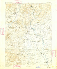
1890 · Red Bluff
USGS Topo · 1:250,000
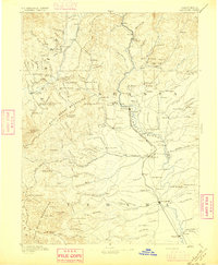
1894 · Red Bluff
USGS Topo · 1:250,000
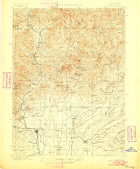
1901 · Redding
USGS Topo · 1:125,000
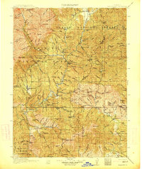
1913 · Weaverville
USGS Topo · 1:125,000
1932 · Olinda
USGS Topo · 1:31,680
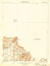
1935 · Olinda
USGS Topo · 1:31,680
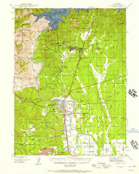
1944 · Redding
USGS Topo · 1:62,500
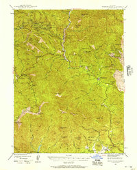
1944 · French Gulch
USGS Topo · 1:62,500
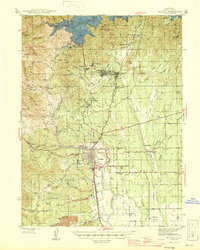
1946 · Redding
USGS Topo · 1:62,500
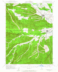
1947 · Anderson
USGS Topo · 1:62,500