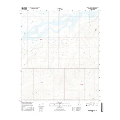
2016 Map of Ikpikpuk River A-1 SW
USGS Topo · Published 2016About this map
Colville River defines the northern reaches of this Arctic landscape, winding through a series of wide river bars and braided channels that characterize the North Slope’s drainage patterns. To the east, the elevation climbs steadily toward Siksikpak Ridge, a prominent topographic feature that overlooks the low-lying wetlands and tundra. The geography here is marked by the expansive Public Land Survey System grids of t4s r7w, t4s r6w, t5s r7w, and t5s r6w, which partition the uninhabited terrain. This 2016 survey provides a clear look at the relationship between the major river systems and the high ridges that separate the primary watersheds in this portion of the Alaska-North Slope Borough.
Find a feature on this map
6 named features on this map. Tap any name to fly to it.
Don’t see what you’re looking for? This feature index may not catch every label — zoom into the map to look around manually.
Map Details
Editions of this 2016 Ikpikpuk River A-1 SW Map
This is the sole edition of this map. No revisions or reprints were ever made.
Other maps of this area
1951 · Ikpikpuk River
USGS Topo · 1:250,000
1951 · Killik River
USGS Topo · 1:250,000
1956 · Killik River
USGS Topo · 1:250,000
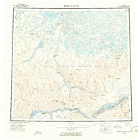
1956 · Ikpikpuk River
USGS Topo · 1:250,000
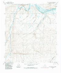
1984 · Killik River D-2
USGS Topo · 1:63,360
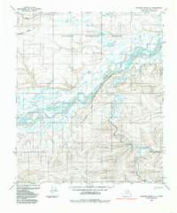
1984 · Ikpikpuk River A-1
USGS Topo · 1:63,360
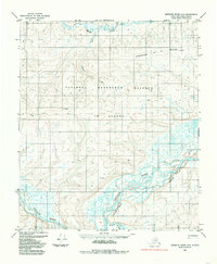
1984 · Ikpikpuk River A-2
USGS Topo · 1:63,360
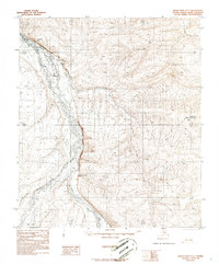
1986 · Killik River D-1
USGS Topo · 1:63,360
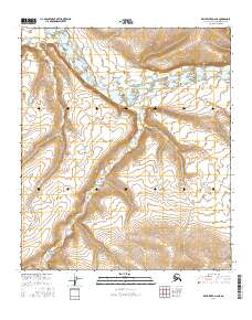
2016 · Killik River D-2 NE
USGS Topo · 1:25,000
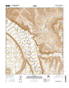
2016 · Killik River D-1 NW
USGS Topo · 1:25,000