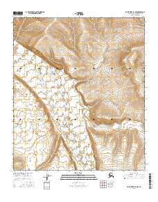
2016 Map of Killik River D-1 NW
USGS Topo · Published 2016About this map
Kikakpak Bluff dominates the northwestern portion of this terrain, overlooking the broad, braided path of the Killik River. The landscape is characterized by its high-latitude Arctic drainage systems, where the main river course is fed by tributaries such as Coal Creek (also labeled Coal Cr). The topography is defined by significant elevation changes, with the bluff serving as a prominent landmark above the river valley. This survey reflects the remote character of the North Slope Borough, where natural landforms and watercourses provide the primary points of orientation in a region largely devoid of human structures or built infrastructure. The detailed contour mapping captures the intricate drainage patterns that shape this sub-arctic environment.
Find a feature on this map
8 named features on this map. Tap any name to fly to it.
Don’t see what you’re looking for? This feature index may not catch every label — zoom into the map to look around manually.
Map Details
Editions of this 2016 Killik River D-1 NW Map
This is the sole edition of this map. No revisions or reprints were ever made.
Other maps of this area

1951 · Ikpikpuk River
USGS Topo · 1:250,000

1951 · Killik River
USGS Topo · 1:250,000

1956 · Killik River
USGS Topo · 1:250,000

1956 · Ikpikpuk River
USGS Topo · 1:250,000
1984 · Killik River D-2
USGS Topo · 1:63,360
1984 · Ikpikpuk River A-1
USGS Topo · 1:63,360

1984 · Ikpikpuk River A-2
USGS Topo · 1:63,360
1986 · Killik River D-1
USGS Topo · 1:63,360
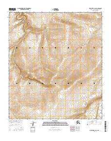
2016 · Killik River D-2 SE
USGS Topo · 1:25,000
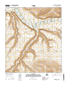
2016 · Killik River D-2 NE
USGS Topo · 1:25,000