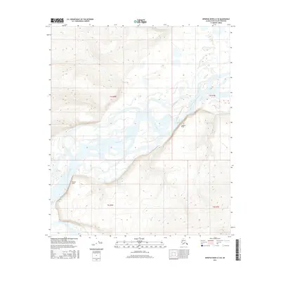
2016 Map of Ikpikpuk River A-2 SE
USGS Topo · Published 2016About this map
The Colville River dominates this Arctic landscape as it meanders through the North Slope Borough, carving distinctive geological formations into the tundra. Notable elevations along the river include Starfish Bluff to the east and Puivlik Bluff further upstream to the southwest. The confluence with the Killik River in the southwestern corner of the quadrangle highlights a complex hydrologic network of seasonal channels and braided streams. This 2016 survey illustrates the raw topography of the Alaskan interior, where river systems serve as the primary geographical markers in a region defined by its wide, unpopulated expanses and shifting alluvial plains.
Find a feature on this map
8 named features on this map. Tap any name to fly to it.
Don’t see what you’re looking for? This feature index may not catch every label — zoom into the map to look around manually.
Map Details
Editions of this 2016 Ikpikpuk River A-2 SE Map
This is the sole edition of this map. No revisions or reprints were ever made.
Other maps of this area
1951 · Ikpikpuk River
USGS Topo · 1:250,000
1951 · Killik River
USGS Topo · 1:250,000
1956 · Killik River
USGS Topo · 1:250,000
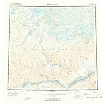
1956 · Ikpikpuk River
USGS Topo · 1:250,000
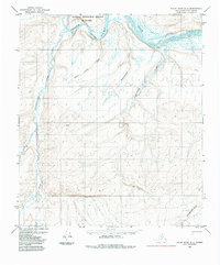
1984 · Killik River D-2
USGS Topo · 1:63,360
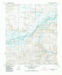
1984 · Ikpikpuk River A-1
USGS Topo · 1:63,360
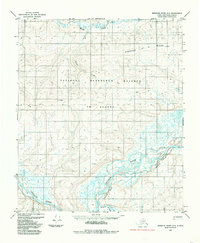
1984 · Ikpikpuk River A-2
USGS Topo · 1:63,360
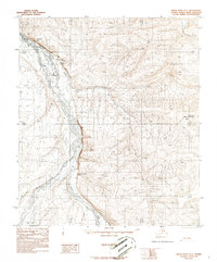
1986 · Killik River D-1
USGS Topo · 1:63,360
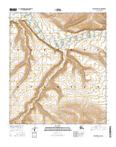
2016 · Killik River D-2 NE
USGS Topo · 1:25,000
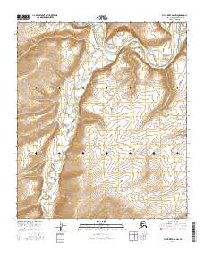
2016 · Killik River D-2 NW
USGS Topo · 1:25,000