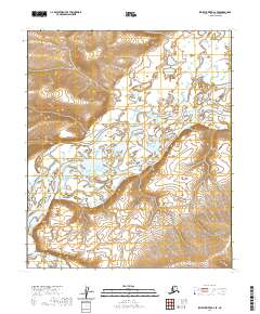
2020 Map of Ikpikpuk River A-2 SE
USGS Topo · Published 2020About this map
The Colville River dominates this Arctic landscape, its braided channels and vast floodplains carving through the North Slope terrain. The map details a significant section of this waterway as it flows past distinctive geological formations like Starfish Bluff and Pulvik Bluff. These bluffs serve as critical landmarks in an otherwise open tundra environment, marking the elevation changes along the river corridor.
Find a feature on this map
1 named feature on this map. Tap any name to fly to it.
Don’t see what you’re looking for? This feature index may not catch every label — zoom into the map to look around manually.
Map Details
Editions of this 2020 Ikpikpuk River A-2 SE Map
This is the sole edition of this map. No revisions or reprints were ever made.
Other maps of this area

1951 · Ikpikpuk River
USGS Topo · 1:250,000

1951 · Killik River
USGS Topo · 1:250,000

1956 · Killik River
USGS Topo · 1:250,000

1956 · Ikpikpuk River
USGS Topo · 1:250,000
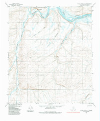
1984 · Killik River D-2
USGS Topo · 1:63,360
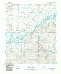
1984 · Ikpikpuk River A-1
USGS Topo · 1:63,360

1984 · Ikpikpuk River A-2
USGS Topo · 1:63,360
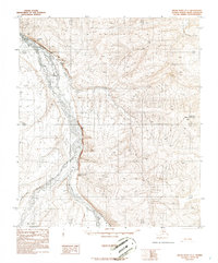
1986 · Killik River D-1
USGS Topo · 1:63,360
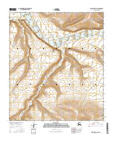
2016 · Killik River D-2 NE
USGS Topo · 1:25,000
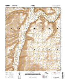
2016 · Killik River D-2 NW
USGS Topo · 1:25,000