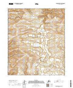
2020 Map of Ikpikpuk River B-1 SW
USGS Topo · Published 2020About this map
Puddin Lake sits at the center of this remote North Slope landscape, surrounded by the intricate drainage patterns of the Alaskan tundra. The 2020 survey documents a transition in the local hydrology where Wolf Cr and Prince Cr carve through the terrain, illustrating the natural watercourses that define this part of the North Slope Borough. The map captures the land as it appeared in the early 21st century, dominated by a network of seasonal wetlands and topographical contours that reveal the subtle shifts in elevation characteristic of this arctic region. This document serves as a specialized record of the physical geography within the boundaries of t1s r6w and t2s r7w, focusing on the untouched hydrological features rather than human infrastructure or settlements.
Find a feature on this map
7 named features on this map. Tap any name to fly to it.
Don’t see what you’re looking for? This feature index may not catch every label — zoom into the map to look around manually.
Map Details
Editions of this 2020 Ikpikpuk River B-1 SW Map
This is the sole edition of this map. No revisions or reprints were ever made.
Other maps of this area

1951 · Ikpikpuk River
USGS Topo · 1:250,000

1956 · Ikpikpuk River
USGS Topo · 1:250,000
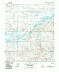
1984 · Ikpikpuk River A-1
USGS Topo · 1:63,360

1984 · Ikpikpuk River A-2
USGS Topo · 1:63,360
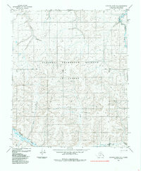
1985 · Ikpikpuk River B-2
USGS Topo · 1:63,360
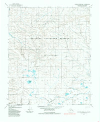
1985 · Ikpikpuk River B-1
USGS Topo · 1:63,360
2013 · Ikpikpuk River B-2 SE
USGS Topo · 1:25,000
2013 · Ikpikpuk River B-1 NE
USGS Topo · 1:25,000
2013 · Ikpikpuk River B-1 SW
USGS Topo · 1:25,000
2015 · Ikpikpuk River B-1 NW
USGS Topo · 1:25,000