
2020 Map of Ikpikpuk River B-2 SE
USGS Topo · Published 2020About this map
Anak Creek and Maybe Creek define the hydrology of this interior section of the North Slope. Located within the Ikpikpuk River drainage system, the landscape is characterized by the winding paths of these seasonal waterways as they navigate the subtle elevations of the Arctic coastal plain. The 2020 topography illustrates the intricate drainage patterns of the region, specifically tracking Maybe Creek through the eastern sections of the quadrangle. This area, largely defined by its remote township boundaries such as t1s r8w and t2s r7w, remains a critical site for understanding the hydrography of Northern Alaska. The map provides a high-resolution look at the tributary networks that support the larger Ikpikpuk River basin, offering essential data for those studying the physical geography and water systems of the Alaskan wilderness.
Find a feature on this map
7 named features on this map. Tap any name to fly to it.
Don’t see what you’re looking for? This feature index may not catch every label — zoom into the map to look around manually.
Map Details
Editions of this 2020 Ikpikpuk River B-2 SE Map
This is the sole edition of this map. No revisions or reprints were ever made.
Other maps of this area

1951 · Ikpikpuk River
USGS Topo · 1:250,000

1956 · Ikpikpuk River
USGS Topo · 1:250,000
1984 · Ikpikpuk River A-1
USGS Topo · 1:63,360

1984 · Ikpikpuk River A-2
USGS Topo · 1:63,360
1985 · Ikpikpuk River B-2
USGS Topo · 1:63,360
1985 · Ikpikpuk River B-1
USGS Topo · 1:63,360
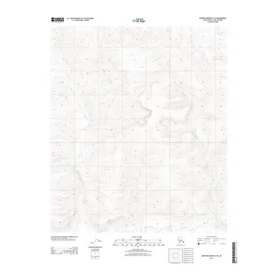
2013 · Ikpikpuk River B-2 SE
USGS Topo · 1:25,000
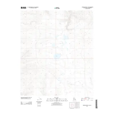
2013 · Ikpikpuk River B-1 SW
USGS Topo · 1:25,000
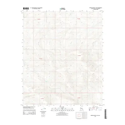
2015 · Ikpikpuk River B-1 NW
USGS Topo · 1:25,000
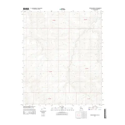
2015 · Ikpikpuk River B-2 NE
USGS Topo · 1:25,000