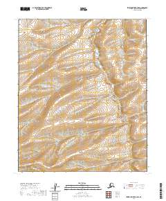
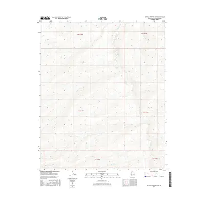
2020 Map of Ikpikpuk River B-4 NW
USGS Topo · Published 2020About this map
Bronx Cr provides the primary drainage for this stretch of the Alaskan interior, meandering through a landscape defined by subtle elevation changes and expansive wetlands. This modern survey, based on data from the Usgs, details the complex hydrography and public land divisions within the North Slope borough. The terrain is marked by numerous small contours that indicate the gentle slopes leading toward the stream network. While primarily a topographic study of natural features, the map delineates several township and range boundaries, including t2n r14w, t2n r13w, and t1n r14w, which provide the legal framework for this remote Arctic environment.
Find a feature on this map
8 named features on this map. Tap any name to fly to it.
Don’t see what you’re looking for? This feature index may not catch every label — zoom into the map to look around manually.
Map Details
Editions of this 2020 Ikpikpuk River B-4 NW Map
This is the sole edition of this map. No revisions or reprints were ever made.
Other maps of this area

1951 · Ikpikpuk River
USGS Topo · 1:250,000

1956 · Ikpikpuk River
USGS Topo · 1:250,000
1985 · Ikpikpuk River B-4
USGS Topo · 1:63,360
1985 · Ikpikpuk River C-4
USGS Topo · 1:63,360
1985 · Ikpikpuk River C-5
USGS Topo · 1:63,360
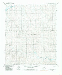
1985 · Ikpikpuk River B-5
USGS Topo · 1:63,360
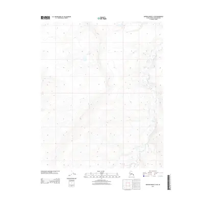
2013 · Ikpikpuk River C-4 SW
USGS Topo · 1:25,000
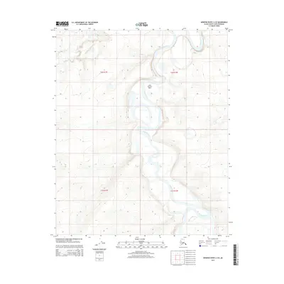
2015 · Ikpikpuk River C-4 SE
USGS Topo · 1:25,000
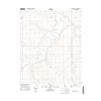
2015 · Ikpikpuk River C-5 SE
USGS Topo · 1:25,000
2016 · Ikpikpuk River B-4 NW
USGS Topo · 1:25,000