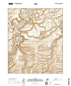
2020 Map of Ikpikpuk River C-1 SW
USGS Topo · Published 2020About this map
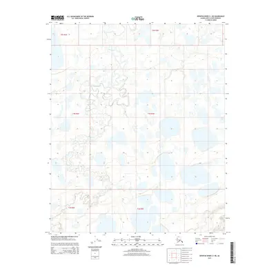
Wolf Creek and its smaller tributary, Wolf Cr, meander through this Arctic landscape of the North Slope. The terrain is defined by a dense network of thaw lakes and braided drainage patterns typical of the region's permafrost environment. Along the eastern edge of the quadrangle, the headwaters of the W Br Key Cr and Kod Cr flow toward the north, illustrating the subtle topographic shifts across these remote coastal plains. This 2020 edition provides a precise look at the hydrology and land divisions within t3n r7w, t3n r6w, t2n r7w, and t2n r6w of the Umiat Meridian, capturing the state of this undeveloped wilderness area for researchers and surveyors.
Find a feature on this map
8 named features on this map. Tap any name to fly to it.
Don’t see what you’re looking for? This feature index may not catch every label — zoom into the map to look around manually.
Map Details
Editions of this 2020 Ikpikpuk River C-1 SW Map
This is the sole edition of this map. No revisions or reprints were ever made.
Other maps of this area

1951 · Ikpikpuk River
USGS Topo · 1:250,000

1956 · Ikpikpuk River
USGS Topo · 1:250,000
1985 · Ikpikpuk River C-1
USGS Topo · 1:63,360
1985 · Ikpikpuk River C-2
USGS Topo · 1:63,360
1985 · Ikpikpuk River B-2
USGS Topo · 1:63,360
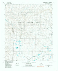
1985 · Ikpikpuk River B-1
USGS Topo · 1:63,360
2013 · Ikpikpuk River B-1 NE
USGS Topo · 1:25,000
2015 · Ikpikpuk River C-1 SW
USGS Topo · 1:25,000
2015 · Ikpikpuk River B-1 NW
USGS Topo · 1:25,000
2015 · Ikpikpuk River C-1 NE
USGS Topo · 1:25,000