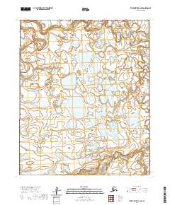
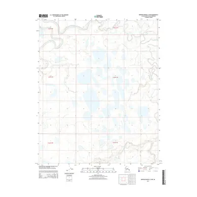
2020 Map of Ikpikpuk River C-3 NW
USGS Topo · Published 2020About this map
Ikpikpuk River meanders across this northern landscape, forming an intricate series of oxbows and abandoned channels characteristic of the Arctic coastal plain. The river dominates the northwestern corner of the sheet, while Fry Creek winds through the northeastern section, both cutting through a low-lying terrain defined by an extensive network of thaw lakes. The dense concentration of these water bodies suggests a highly dynamic permafrost environment where the shifting hydrology is constantly reshaping the local landforms.
Find a feature on this map
9 named features on this map. Tap any name to fly to it.
Don’t see what you’re looking for? This feature index may not catch every label — zoom into the map to look around manually.
Map Details
Editions of this 2020 Ikpikpuk River C-3 NW Map
This is the sole edition of this map. No revisions or reprints were ever made.
Other maps of this area

1951 · Ikpikpuk River
USGS Topo · 1:250,000

1956 · Ikpikpuk River
USGS Topo · 1:250,000
1984 · Ikpikpuk River D-3
USGS Topo · 1:63,360
1985 · Ikpikpuk River C-3
USGS Topo · 1:63,360
1985 · Ikpikpuk River C-4
USGS Topo · 1:63,360
1985 · Ikpikpuk River D-4
USGS Topo · 1:63,360
2013 · Ikpikpuk River C-4 NE
USGS Topo · 1:25,000
2015 · Ikpikpuk River C-4 SE
USGS Topo · 1:25,000
2015 · Ikpikpuk River C-3 SE
USGS Topo · 1:25,000
2015 · Ikpikpuk River C-3 NW
USGS Topo · 1:25,000