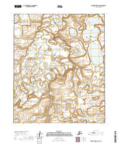
2020 Map of Ikpikpuk River C-4 NW
USGS Topo · Published 2020About this map
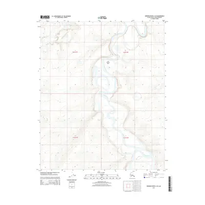
The Titaluk River meanders in intricate oxbows and tight loops across this Arctic landscape, demonstrating the dynamic nature of water systems in the North Slope of Alaska. This 2020 map, produced by the U.S. Geological Survey, illustrates a vast expanse of wetland and permafrost terrain defined by the complex hydrology of the river's path. The landscape is segmented by the Public Land Survey System grid, including boundaries for t4n r14w and t4n r13w. These survey lines provide a rare structural framework across a region where natural watercourses are the primary geographical markers, revealing how the federal government continues to delineate and monitor these remote northern territories.
Find a feature on this map
7 named features on this map. Tap any name to fly to it.
Don’t see what you’re looking for? This feature index may not catch every label — zoom into the map to look around manually.
Map Details
Editions of this 2020 Ikpikpuk River C-4 NW Map
This is the sole edition of this map. No revisions or reprints were ever made.
Other maps of this area

1951 · Ikpikpuk River
USGS Topo · 1:250,000

1956 · Ikpikpuk River
USGS Topo · 1:250,000
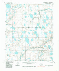
1984 · Ikpikpuk River D-5
USGS Topo · 1:63,360
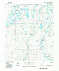
1985 · Ikpikpuk River C-4
USGS Topo · 1:63,360
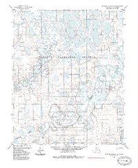
1985 · Ikpikpuk River D-4
USGS Topo · 1:63,360
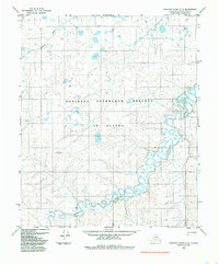
1985 · Ikpikpuk River C-5
USGS Topo · 1:63,360
2013 · Ikpikpuk River C-4 SW
USGS Topo · 1:25,000
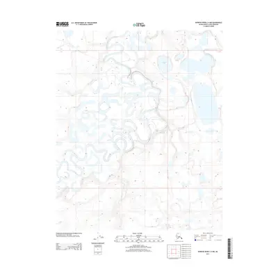
2013 · Ikpikpuk River C-4 NW
USGS Topo · 1:25,000
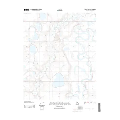
2013 · Ikpikpuk River C-4 NE
USGS Topo · 1:25,000
2015 · Ikpikpuk River C-4 SE
USGS Topo · 1:25,000