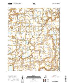
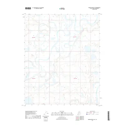
2020 Map of Ikpikpuk River D-4 SE
USGS Topo · Published 2020About this map
The Titaluk River meanders across this landscape, demonstrating the intricate drainage patterns found on the North Slope. This 2020 topographic map reveals a terrain defined by shifting watercourses and expansive wetlands, typical of the Arctic coastal plain. The Ikpikpuk River appears in the southeastern corner, where its winding path indicates a slow-moving, low-gradient environment where the land and water are constantly reshaping one another. Surveyed with 10-foot contours, the map provides a precise look at the subtle elevation changes that direct the flow of these significant northern rivers.
Find a feature on this map
6 named features on this map. Tap any name to fly to it.
Don’t see what you’re looking for? This feature index may not catch every label — zoom into the map to look around manually.
Map Details
Editions of this 2020 Ikpikpuk River D-4 SE Map
This is the sole edition of this map. No revisions or reprints were ever made.
Other maps of this area

1951 · Ikpikpuk River
USGS Topo · 1:250,000

1956 · Ikpikpuk River
USGS Topo · 1:250,000
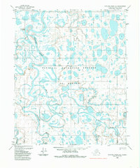
1984 · Ikpikpuk River D-3
USGS Topo · 1:63,360
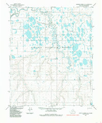
1985 · Ikpikpuk River C-3
USGS Topo · 1:63,360
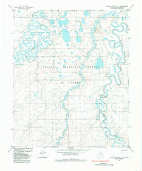
1985 · Ikpikpuk River C-4
USGS Topo · 1:63,360
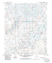
1985 · Ikpikpuk River D-4
USGS Topo · 1:63,360
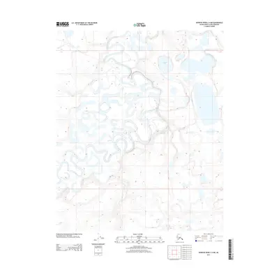
2013 · Ikpikpuk River C-4 NW
USGS Topo · 1:25,000
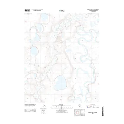
2013 · Ikpikpuk River C-4 NE
USGS Topo · 1:25,000
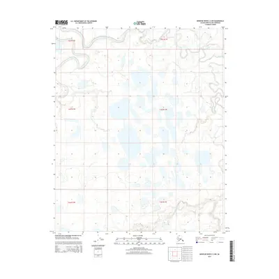
2015 · Ikpikpuk River C-3 NW
USGS Topo · 1:25,000
2017 · Ikpikpuk River D-4 SE
USGS Topo · 1:25,000