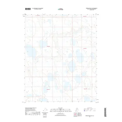
2017 Map of Ikpikpuk River D-5 NE
USGS Topo · Published 2017About this map
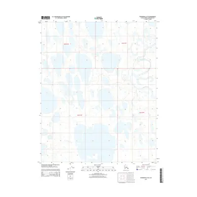
Hydrological patterns and remote Arctic wetlands dominate this corner of the North Slope. Surveyed with data from the National Hydrography Dataset and the National Elevation Dataset, the landscape is defined by an intricate network of thaw lakes and unnamed water bodies common to the Alaskan tundra. This specific area spans several township and range blocks, including T8n R15w, T8n R14w, T7n R15w, T7n R14w, T6n R15w, and T6n R14w. The cartography reveals a wilderness void of established roads or structures, highlighting the untouched character of the North Slope Borough during the early 21st century. Researchers can study the distribution of wetlands and the orientation of the lakes, which are significant for understanding the local environment before potential climate-driven landscape shifts.
Find a feature on this map
6 named features on this map. Tap any name to fly to it.
Don’t see what you’re looking for? This feature index may not catch every label — zoom into the map to look around manually.
Map Details
Editions of this 2017 Ikpikpuk River D-5 NE Map
This is the sole edition of this map. No revisions or reprints were ever made.
Other maps of this area
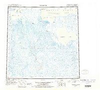
1951 · Teshekpuk
USGS Topo · 1:250,000

1951 · Ikpikpuk River
USGS Topo · 1:250,000
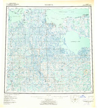
1955 · Teshekpuk
USGS Topo · 1:250,000
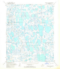
1955 · Teshekpuk A-5
USGS Topo · 1:63,360
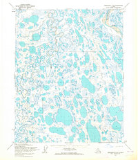
1955 · Teshekpuk A-4
USGS Topo · 1:63,360

1956 · Ikpikpuk River
USGS Topo · 1:250,000
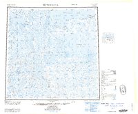
1964 · Teshekpuk
USGS Topo · 1:250,000
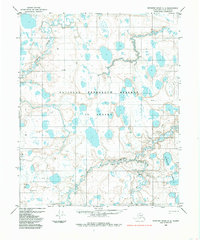
1984 · Ikpikpuk River D-5
USGS Topo · 1:63,360
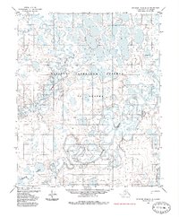
1985 · Ikpikpuk River D-4
USGS Topo · 1:63,360
2015 · Teshekpuk A-5 SE
USGS Topo · 1:25,000