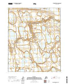
2020 Map of Ikpikpuk River D-5 NE
USGS Topo · Published 2020About this map
Tundra wetlands and a dense network of unnamed thermokarst lakes dominate this Arctic landscape on the North Slope. Surveyed for the T7n R15w and T7n R14w township divisions, the terrain is characterized by intricate hydrography and shifting shorelines typical of the region's permafrost environment. The map provides precise elevation contours at 10-foot intervals, revealing the subtle relief of the coastal plain. While the area lacks named settlements or developed infrastructure, the detailed mapping of water bodies across T6n R15w and T8n R15w captures the natural state of the Alaskan wilderness as documented by recent satellite imagery and national elevation datasets. This survey serves as a technical baseline for tracking long-term environmental changes in the Ikpikpuk River drainage system.
Find a feature on this map
5 named features on this map. Tap any name to fly to it.
Don’t see what you’re looking for? This feature index may not catch every label — zoom into the map to look around manually.
Map Details
Editions of this 2020 Ikpikpuk River D-5 NE Map
This is the sole edition of this map. No revisions or reprints were ever made.
Other maps of this area

1951 · Teshekpuk
USGS Topo · 1:250,000

1951 · Ikpikpuk River
USGS Topo · 1:250,000

1955 · Teshekpuk
USGS Topo · 1:250,000
1955 · Teshekpuk A-5
USGS Topo · 1:63,360
1955 · Teshekpuk A-4
USGS Topo · 1:63,360

1956 · Ikpikpuk River
USGS Topo · 1:250,000

1964 · Teshekpuk
USGS Topo · 1:250,000
1984 · Ikpikpuk River D-5
USGS Topo · 1:63,360
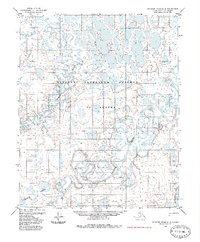
1985 · Ikpikpuk River D-4
USGS Topo · 1:63,360
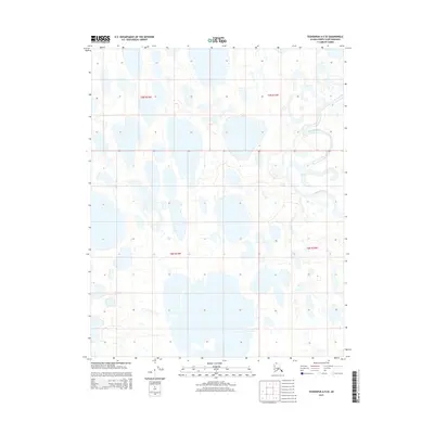
2015 · Teshekpuk A-5 SE
USGS Topo · 1:25,000