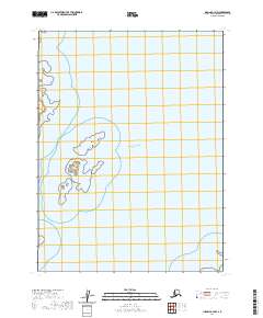
2020 Map of Iliamna A-3 NW
USGS Topo · Published 2020About this map
Nordyke Island and the larger Nordyke Islands chain define the coastline in this 2020 study of the Kenai Peninsula. The map focuses on the maritime transition where the land meets the Pacific Ocean, documenting the geological signatures of this remote Alaskan shore. Navigation and coastal geography are anchored by prominent landmarks such as Chenik Head and the nearby Juma Reef, which present significant hazards and navigational markers for the region's marine traffic.
Find a feature on this map
7 named features on this map. Tap any name to fly to it.
Don’t see what you’re looking for? This feature index may not catch every label — zoom into the map to look around manually.
Map Details
Editions of this 2020 Iliamna A-3 NW Map
This is the sole edition of this map. No revisions or reprints were ever made.
Other maps of this area

1951 · Iliamna A-4
USGS Topo · 1:63,360

1951 · Iliamna A-3
USGS Topo · 1:63,360

1952 · Iliamna
USGS Topo · 1:250,000

1952 · Iliamna A-4
USGS Topo · 1:63,360

1954 · Iliamna B-3
USGS Topo · 1:63,360

1954 · Iliamna B-4
USGS Topo · 1:63,360

1957 · Iliamna
USGS Topo · 1:250,000
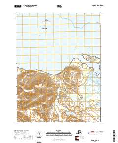
2018 · Iliamna A-3 SE
USGS Topo · 1:25,000
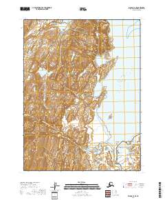
2018 · Iliamna A-4 SE
USGS Topo · 1:25,000
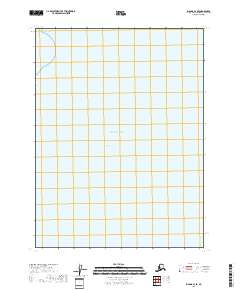
2018 · Iliamna B-3 SE
USGS Topo · 1:25,000