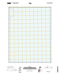
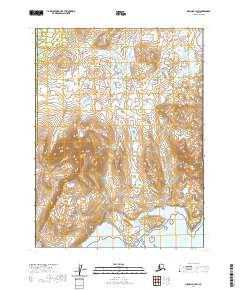
2018 Map of Iliamna B-3 SE
USGS Topo · Published 2018About this map
Kamishak Bay and the surrounding reaches of the Pacific Ocean dominate this 2018 coastal survey of the Kenai Peninsula region. This map is notably sparse, illustrating a remote maritime environment where the primary features are the hydrographic boundaries of the bay itself. The cartography focuses on the marine expanse, providing a clear record of the shoreline and its relationship to the Public Land Survey System grids, such as t9s r28w, which define the administrative geography of this uninhabited Alaskan coastline. Researchers studying historical coastal changes or the legal boundaries of state waters will find the precise placement of the Kamishak Bay labels and section lines useful for tracking the interface between land and sea in this undeveloped area of the borough.
Find a feature on this map
25 named features on this map. Tap any name to fly to it.
Don’t see what you’re looking for? This feature index may not catch every label — zoom into the map to look around manually.
Map Details
Editions of this 2018 Iliamna B-3 SE Map
This is the sole edition of this map. No revisions or reprints were ever made.
Other maps of this area

1951 · Iliamna A-3
USGS Topo · 1:63,360

1951 · Iliamna A-1 and A-2
USGS Topo · 1:63,360

1952 · Iliamna
USGS Topo · 1:250,000

1954 · Iliamna B-3
USGS Topo · 1:63,360

1957 · Iliamna
USGS Topo · 1:250,000

1958 · Iliamna B-2
USGS Topo · 1:63,360
2018 · Iliamna B-2 NW
USGS Topo · 1:25,000
2018 · Iliamna B-2 SW
USGS Topo · 1:25,000
2018 · Iliamna B-3 NE
USGS Topo · 1:25,000
2020 · Iliamna B-3 NW
USGS Topo · 1:25,000